UN/LOCODE hub · Norway
NOMOB

Mongstadbase

60.8000°, 5.0667°
1
Transport functions

Transport Functions

Port
UN/LOCODE

Hub Profile

Region
12
GeoNames

Location

Location of NOMOB
Natural Earth 10m (public domain) · 12 · NOMOB · 60.80, 5.07GoogleOSMYandex

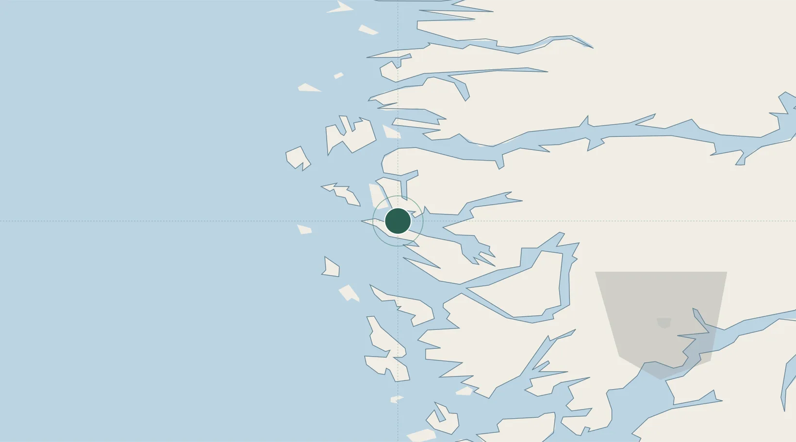
Nearby Logistics Neighbours

Cities
  1. 1Mongstad3 km
  2. 2Sløvåg6 km
  3. 3Fonnes6 km
  4. 4Skipavik - Gulen6 km
  5. 5Bøvågen - Radøy14 km
Nearest neighbours — logibook spatial index (haversine) over the source coordinates
Ports
  1. 1Mongstad4 km
  2. 2Stura23 km
  3. 3Bergen46 km
  4. 4Brattholmen51 km
  5. 5Vaksdal51 km
Nearest neighbours — logibook spatial index (haversine) over the source coordinates
Airports
  1. 1Bergen Airport, Flesland57 km
  2. 2Førde Airport, Bringeland76 km
  3. 3Florø Airport87 km
  4. 4Stord Airport, Sørstokken113 km
  5. 5Sogndal Airport, Haukåsen119 km
Nearest neighbours — logibook spatial index (haversine) over the source coordinates
Trade Zones
  1. 1Gothenburg Boundless Customs Warehouse515 km
  2. 2Freeport of Copenhagen- Nordhavn716 km
  3. 3MTS Malmö Transport and Spedition744 km
  4. 4North Eastern Enterprise Zone759 km
  5. 5Freeport of Kiel780 km
Nearest neighbours — logibook spatial index (haversine) over the source coordinates
DatabookThe Record of Consolidated Knowledge
Norway beyond logistics?
Browse databook

All Sources

LocationsUN/LOCODE
UN/LOCODE — free
Portsthe NGA World Port Index
Public domain (US gov)
AirportsOurAirports
Public domain
Trade Zonesthe World Bank SEZ database
CC BY 4.0
Trade ZonesOpen Zone Map
CC BY
← Norway locations