Transport Functions
Port
Road
Airport
Hub Profile
Region
18
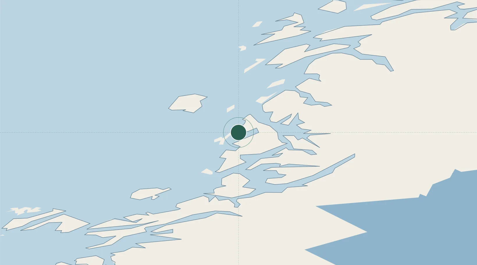
Location
Nearby Logistics Neighbours
Cities
- 1Lessremman17 km
- 2Vega22 km
- 3Igerøy24 km
- 4Tjøtta40 km
- 5Gutvik46 km
Ports
- 1Berg11 km
- 2Tjotta41 km
- 3Mosjoen62 km
- 4Sandnessjoen65 km
- 5Salsbruket76 km
Airports
- 1Brønnøysund Airport, Brønnøy1 km
- 2Sandnessjøen Airport, Stokka56 km
- 3Mosjøen Airport, Kjærstad58 km
- 4Rørvik Airport, Ryum86 km
- 5Namsos Airport114 km
Trade Zones
- 1Stockholm Free Zone745 km
- 2Turku Free Zone752 km
- 3Freeport of Hanko829 km
- 4Jönköping Free Zone862 km
- 5Gothenburg Boundless Customs Warehouse863 km
DatabookThe Record of Consolidated Knowledge
Norway beyond logistics?