UN/LOCODE hub · Norway
NOLRE

Lessremman

65.3667°, 12.4833°
1
Transport functions

Transport Functions

Port
UN/LOCODE

Hub Profile

Region
18
GeoNames

Location

Location of NOLRE
Natural Earth 10m (public domain) · 18 · NOLRE · 65.37, 12.48GoogleOSMYandex

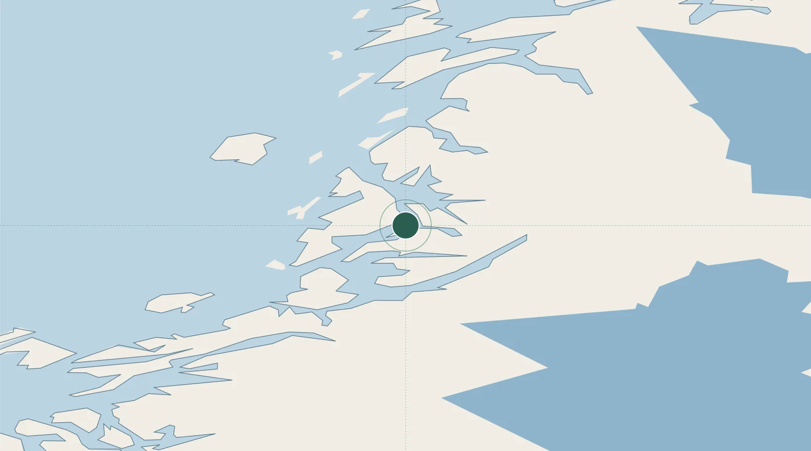
Nearby Logistics Neighbours

Cities
  1. 1Brønnøysund17 km
  2. 2Vega39 km
  3. 3Igerøy39 km
  4. 4Gutvik44 km
  5. 5Tjøtta50 km
Nearest neighbours — logibook spatial index (haversine) over the source coordinates
Ports
  1. 1Berg13 km
  2. 2Bronnoysund17 km
  3. 3Tjotta51 km
  4. 4Mosjoen63 km
  5. 5Salsbruket70 km
Nearest neighbours — logibook spatial index (haversine) over the source coordinates
Airports
  1. 1Brønnøysund Airport, Brønnøy16 km
  2. 2Mosjøen Airport, Kjærstad57 km
  3. 3Sandnessjøen Airport, Stokka66 km
  4. 4Rørvik Airport, Ryum86 km
  5. 5Namsos Airport108 km
Nearest neighbours — logibook spatial index (haversine) over the source coordinates
Trade Zones
  1. 1Stockholm Free Zone729 km
  2. 2Turku Free Zone735 km
  3. 3Freeport of Hanko812 km
  4. 4Jönköping Free Zone849 km
  5. 5Gothenburg Boundless Customs Warehouse853 km
Nearest neighbours — logibook spatial index (haversine) over the source coordinates
DatabookThe Record of Consolidated Knowledge
Norway beyond logistics?
Browse databook

All Sources

LocationsUN/LOCODE
UN/LOCODE — free
Portsthe NGA World Port Index
Public domain (US gov)
AirportsOurAirports
Public domain
Trade Zonesthe World Bank SEZ database
CC BY 4.0
Trade ZonesOpen Zone Map
CC BY
← Norway locations