Transport Functions
Port
Road
Hub Profile
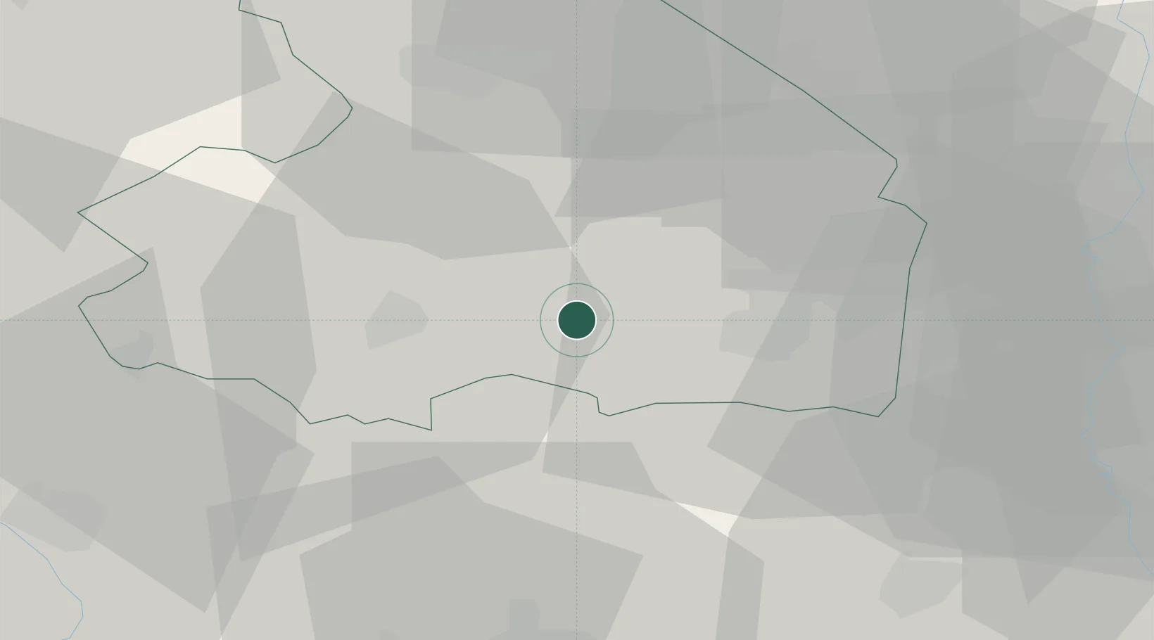
Place type
Populated place
Region
Drenthe
Population
260
Time zone
Europe/Amsterdam
Elevation
17 m
Location
Nearby Logistics Neighbours
Cities
- 1Den Hool7 km
- 2Holsloot8 km
- 3Coevorden11 km
- 4Veenoord11 km
- 5Stieltjeskanaal12 km
Airports
- 1Groningen Airport Eelde44 km
- 2Twente Airport53 km
- 3Emden Airport82 km
- 4Leeuwarden Air Base83 km
- 5Lelystad Airport85 km
Trade Zones
DatabookThe Record of Consolidated Knowledge
Netherlands beyond logistics?