Transport Functions
Rail
Road
Hub Profile
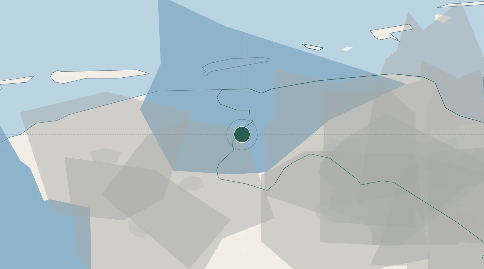
Place type
Populated place
Region
Groningen
Population
300
Time zone
Europe/Amsterdam
Elevation
1 m
Location
Nearby Logistics Neighbours
Cities
- 1Pieterzijl2 km
- 2Grijpskerk3 km
- 3Stroobos4 km
- 4Gaarkeuken5 km
- 5Kollum7 km
Airports
- 1Groningen Airport Eelde27 km
- 2Leeuwarden Air Base33 km
- 3Borkum Airport48 km
- 4Emden Airport66 km
- 5Juist Airport71 km
Trade Zones
DatabookThe Record of Consolidated Knowledge
Netherlands beyond logistics?