Transport Functions
Multimodal
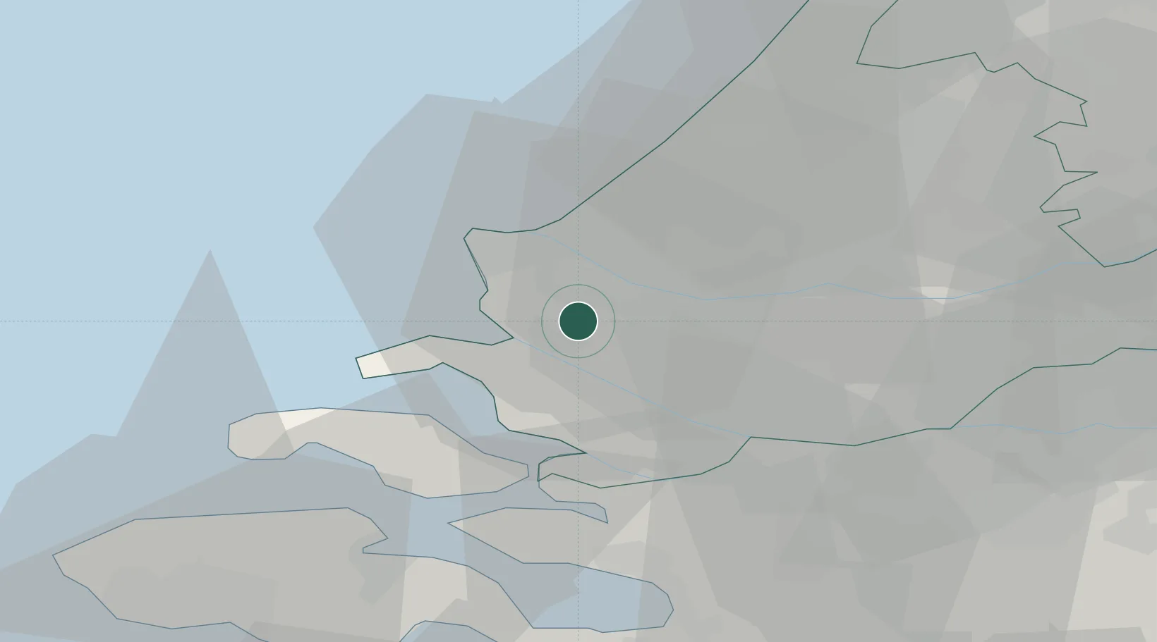
Hub Profile
Place type
Populated place
Region
South Holland
Population
1,215
Time zone
Europe/Amsterdam
Elevation
-1 m
Location
Nearby Logistics Neighbours
Cities
- 1Zwartewaal3 km
- 2Botlek6 km
- 3Europoort6 km
- 4Rockanje7 km
- 5Rotterdam9 km
Ports
- 1Maassluis8 km
- 2Hoek Van Holland10 km
- 3Europoort10 km
- 4Vlaardingen13 km
- 5Schiedam16 km
Airports
Trade Zones
- 1ZFU Tourcoing145 km
- 2ZFU Hem et Roubaix148 km
- 3ZFU Saint Pol sur Mer157 km
- 4ZFU de Lille et de Loos159 km
- 5ZFU Condé sur lEscaut161 km
DatabookThe Record of Consolidated Knowledge
Netherlands beyond logistics?