Transport Functions
Port
Road
Hub Profile
Region
ZH
Logistics facilities
3
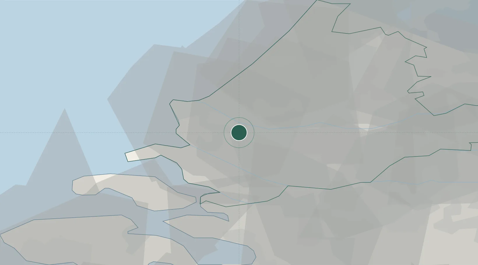
Location
Nearby Logistics Neighbours
Cities
- 1Zwartewaal3 km
- 2Rotterdam4 km
- 3Vierpolders6 km
- 4Vondelingenplaat6 km
- 5Europoort6 km
Ports
- 1Maassluis4 km
- 2Vlaardingen8 km
- 3Hoek Van Holland10 km
- 4Schiedam11 km
- 5Europoort11 km
Airports
Trade Zones
- 1ZFU Tourcoing149 km
- 2ZFU Hem et Roubaix153 km
- 3ZFU Saint Pol sur Mer163 km
- 4ZFU de Lille et de Loos164 km
- 5ZFU Condé sur lEscaut164 km
DatabookThe Record of Consolidated Knowledge
Netherlands beyond logistics?