Transport Functions
Port
Rail
Road
Hub Profile
Place type
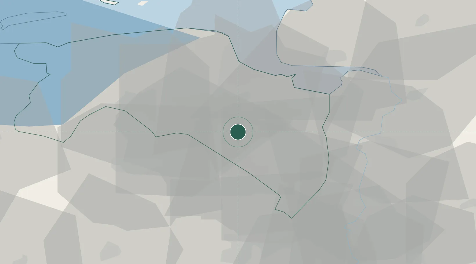
Populated place
Region
Groningen
Population
28,155
Time zone
Europe/Amsterdam
Elevation
2 m
Logistics facilities
1
Location
Nearby Logistics Neighbours
Cities
- 1Zuidbroek5 km
- 2Scheemderzwaag8 km
- 3Nieuw-Scheemda9 km
- 4't Waar11 km
- 5Midwolda11 km
Airports
- 1Groningen Airport Eelde21 km
- 2Emden Airport37 km
- 3Borkum Airport54 km
- 4Norden-Norddeich Airport60 km
- 5Juist Airport63 km
Trade Zones
DatabookThe Record of Consolidated Knowledge
Netherlands beyond logistics?