UN/LOCODE hub · Netherlands
NLSMZ
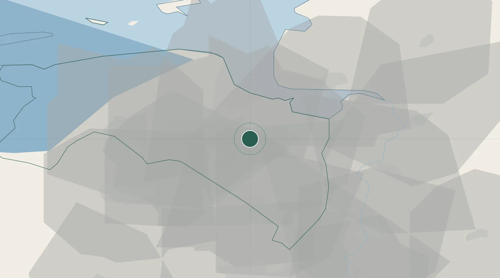
Scheemderzwaag
53.1833°, 6.9500°
115
Population
3
Transport functions
Transport Functions
Port
Rail
Road
Hub Profile
Place type
Populated place
Region
Groningen
Population
115
Time zone
Europe/Amsterdam
Elevation
-2 m
Location
Nearby Logistics Neighbours
Cities
- 1Nieuw-Scheemda2 km
- 2Midwolda4 km
- 3't Waar4 km
- 4Zuidbroek6 km
- 5Veendam8 km
Airports
- 1Groningen Airport Eelde26 km
- 2Emden Airport30 km
- 3Borkum Airport49 km
- 4Norden-Norddeich Airport53 km
- 5Juist Airport56 km
Trade Zones
DatabookThe Record of Consolidated Knowledge
Netherlands beyond logistics?