Transport Functions
Port
Hub Profile
Place type
Populated place
Region
Groningen
Population
1,885
Time zone
Europe/Amsterdam
Elevation
1 m
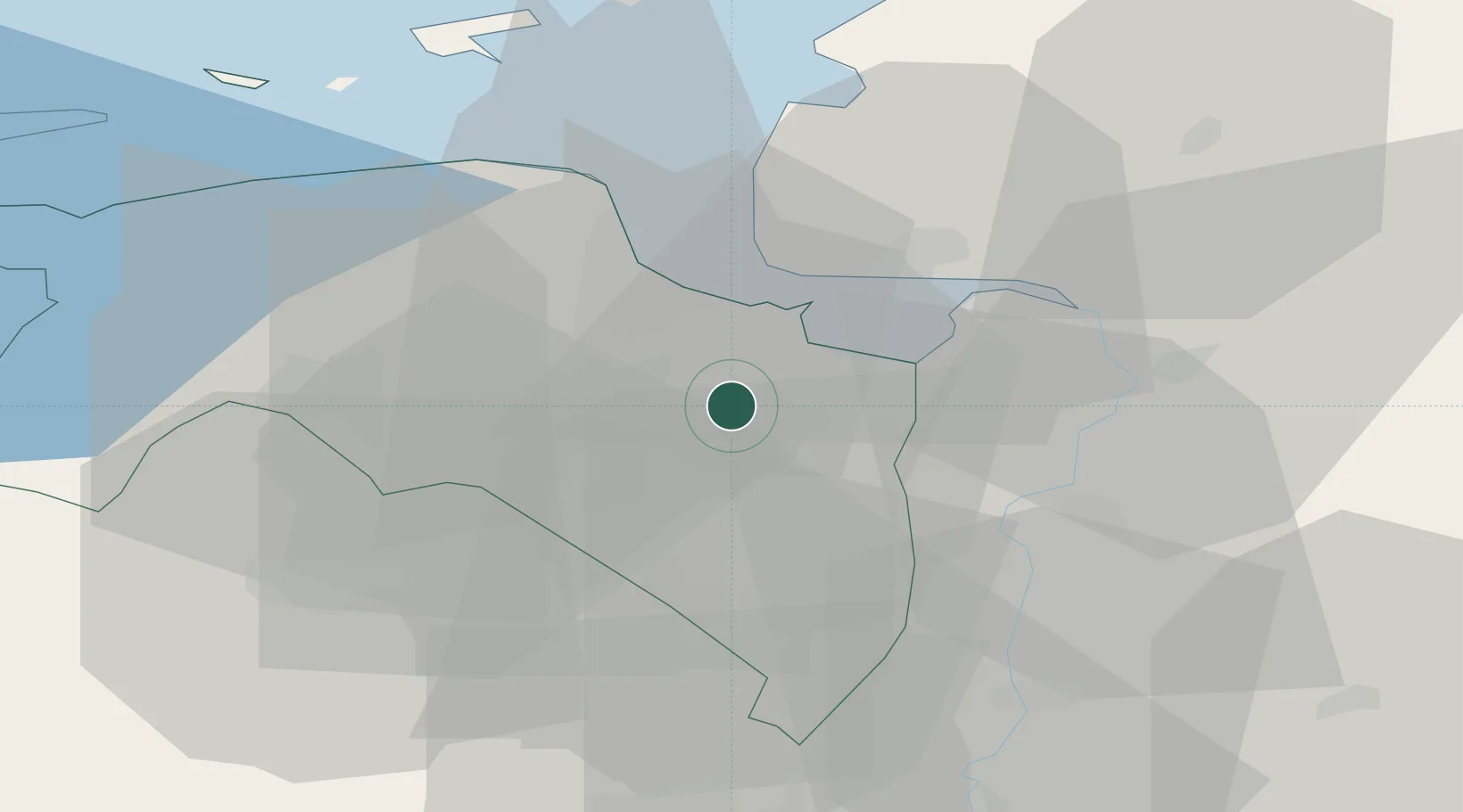
Location
Nearby Logistics Neighbours
Cities
- 1Scheemderzwaag4 km
- 2Nieuw-Scheemda4 km
- 3't Waar5 km
- 4Nieuwolda6 km
- 5Lalleweer9 km
Airports
- 1Emden Airport26 km
- 2Groningen Airport Eelde30 km
- 3Borkum Airport48 km
- 4Norden-Norddeich Airport50 km
- 5Juist Airport54 km
Trade Zones
DatabookThe Record of Consolidated Knowledge
Netherlands beyond logistics?