Transport Functions
Rail
Road
Hub Profile
Place type
Populated place
Region
Gelderland
Time zone
Europe/Amsterdam
Elevation
11 m
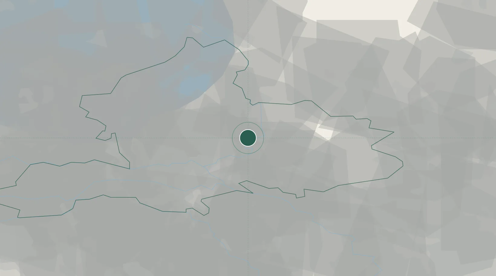
Location
Nearby Logistics Neighbours
Cities
- 1Steenderen4 km
- 2Toldijk7 km
- 3Doesburg7 km
- 4De Steeg9 km
- 5Drempt10 km
Airports
- 1Deelen Air Base18 km
- 2Weeze (Niederrhein) Airport54 km
- 3Volkel Air Base56 km
- 4Twente Airport56 km
- 5Lelystad Airport59 km
Trade Zones
- 1Freeport of Duisburg77 km
- 2Rheinische Revier SWZ132 km
- 3Freeport of Emden156 km
- 4Freeport of Bremerhaven (Freihafen Bremerhaven)211 km
- 5ZFU Condé sur lEscaut253 km
DatabookThe Record of Consolidated Knowledge
Netherlands beyond logistics?