Transport Functions
Port
Road
Hub Profile
Place type
Populated place
Region
Friesland
Population
295
Time zone
Europe/Amsterdam
Elevation
3 m
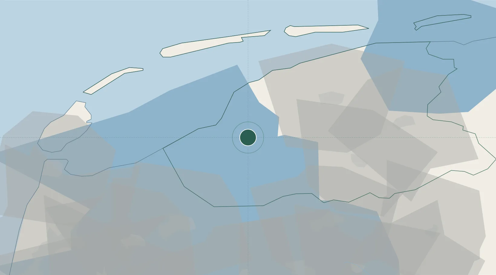
Location
Nearby Logistics Neighbours
Cities
- 1Exmorrazijl3 km
- 2Burgwerd5 km
- 3Oudega7 km
- 4Makkum7 km
- 5Oosthem8 km
Ports
- 1Harlingen16 km
- 2Den Helder49 km
- 3Zaandam82 km
- 4Amsterdam86 km
- 5Ijmuiden90 km
Airports
Trade Zones
DatabookThe Record of Consolidated Knowledge
Netherlands beyond logistics?