Transport Functions
Port
Road
Hub Profile
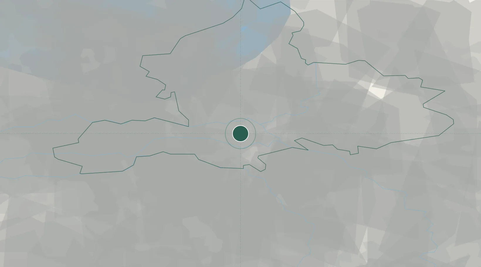
Place type
Populated place
Region
Gelderland
Population
20,488
Time zone
Europe/Amsterdam
Elevation
10 m
Location
Nearby Logistics Neighbours
Airports
- 1Deelen Air Base16 km
- 2Volkel Air Base31 km
- 3Weeze (Niederrhein) Airport40 km
- 4Eindhoven Airport61 km
- 5Lelystad Airport64 km
Trade Zones
- 1Freeport of Duisburg73 km
- 2Rheinische Revier SWZ118 km
- 3Freeport of Emden182 km
- 4ZFU Condé sur lEscaut226 km
- 5ZFU Maubeuge, Louvroil228 km
DatabookThe Record of Consolidated Knowledge
Netherlands beyond logistics?