Transport Functions
Port
Road
Hub Profile
Place type
Populated place
Region
Lower Saxony
Time zone
Europe/Berlin
Elevation
1 m
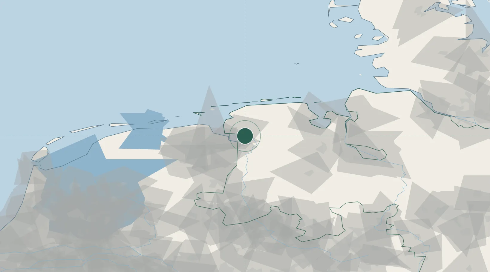
Location
Nearby Logistics Neighbours
Cities
- 1Oldersum4 km
- 2Emden7 km
- 3Jemgum9 km
- 4Nieuwe Statenzijl11 km
- 5Nieuweschans16 km
Airports
- 1Emden Airport9 km
- 2Norden-Norddeich Airport36 km
- 3Wittmundhafen Air Base36 km
- 4Juist Airport43 km
- 5Norderney Airport44 km
Trade Zones
DatabookThe Record of Consolidated Knowledge
Germany beyond logistics?