UN/LOCODE hub · Netherlands
NLMKM

Wonseradeel/Makkum

53.0500°, 5.3833°
1
Transport functions

Transport Functions

Port
UN/LOCODE

Hub Profile

Region
FR
GeoNames

Location

Location of NLMKM
Natural Earth 10m (public domain) · FR · NLMKM · 53.05, 5.38GoogleOSMYandex

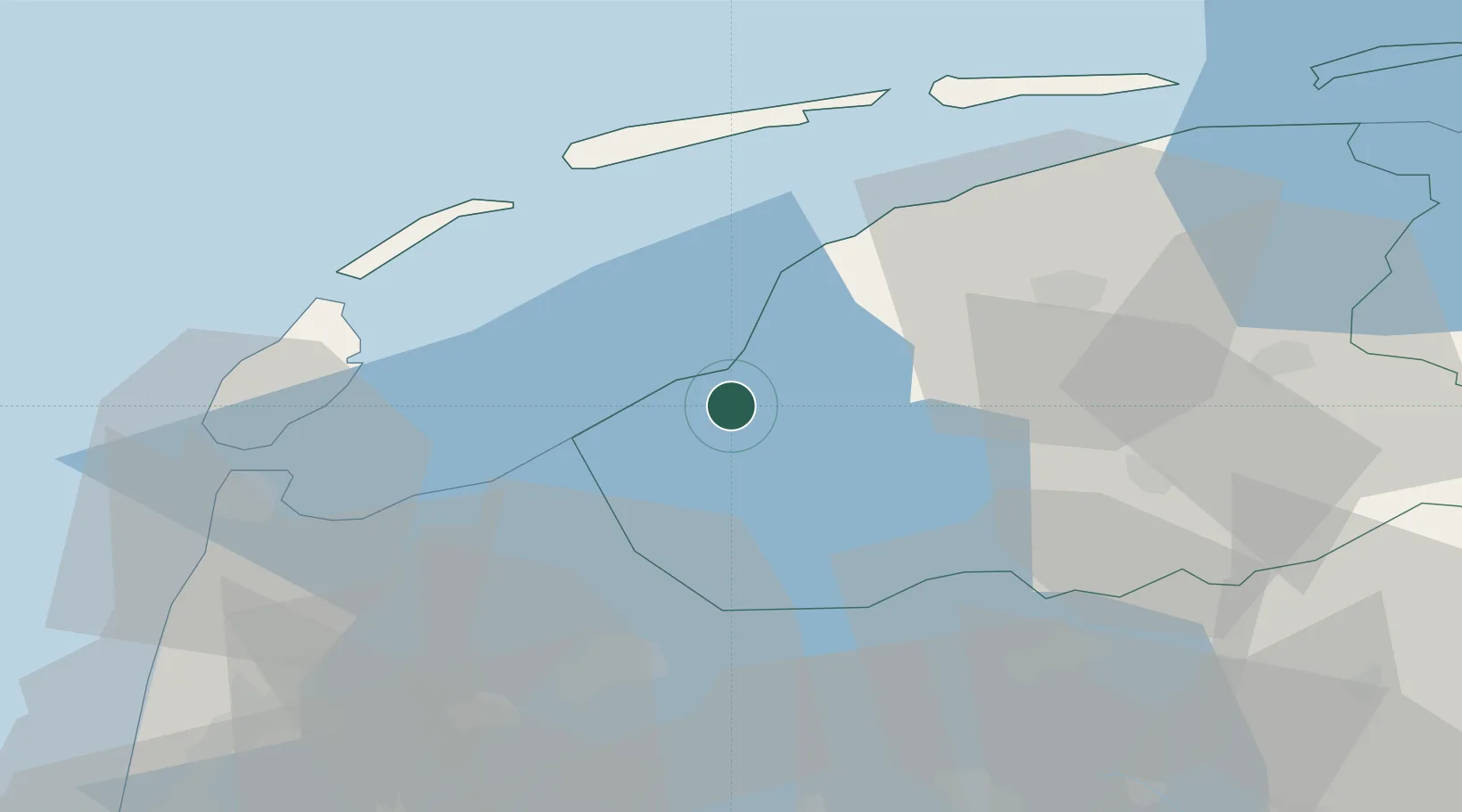
Nearby Logistics Neighbours

Cities
  1. 1Makkum1 km
  2. 2Exmorrazijl6 km
  3. 3Tjerkwerd8 km
  4. 4Pingjum8 km
  5. 5Workum9 km
Nearest neighbours — logibook spatial index (haversine) over the source coordinates
Ports
  1. 1Harlingen15 km
  2. 2Den Helder41 km
  3. 3Zaandam78 km
  4. 4Amsterdam83 km
  5. 5Ijmuiden84 km
Nearest neighbours — logibook spatial index (haversine) over the source coordinates
Airports
  1. 1Leeuwarden Air Base32 km
  2. 2De Kooy Airfield / Den Helder Naval Air Station43 km
  3. 3Lelystad Airport67 km
  4. 4Groningen Airport Eelde80 km
  5. 5Amsterdam Airport Schiphol92 km
Nearest neighbours — logibook spatial index (haversine) over the source coordinates
Trade Zones
  1. 1Freeport of Emden125 km
  2. 2Freeport of Duisburg196 km
  3. 3Freeport of Bremerhaven (Freihafen Bremerhaven)227 km
  4. 4Freeport of Cuxhaven (Freihafen Cuxhaven)228 km
  5. 5Rheinische Revier SWZ248 km
Nearest neighbours — logibook spatial index (haversine) over the source coordinates
DatabookThe Record of Consolidated Knowledge
Netherlands beyond logistics?
Browse databook

All Sources

LocationsUN/LOCODE
UN/LOCODE — free
Portsthe NGA World Port Index
Public domain (US gov)
AirportsOurAirports
Public domain
Trade Zonesthe World Bank SEZ database
CC BY 4.0
Trade ZonesOpen Zone Map
CC BY
← Netherlands locations