UN/LOCODE hub · Belgium
BESPV
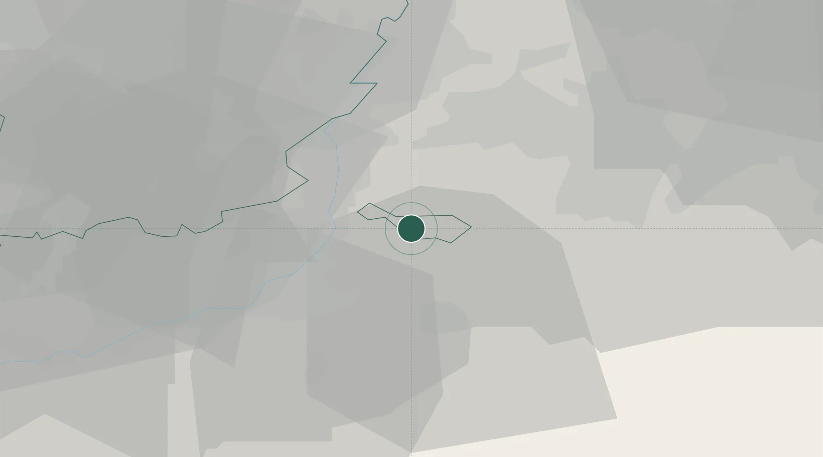
Sint-Pieters-Voeren
50.7333°, 5.8167°
4,235
Population
2
Transport functions
Transport Functions
Rail
Road
Hub Profile
Place type
Populated place
Region
Flanders
Population
4,235
Time zone
Europe/Brussels
Elevation
153 m
Location
Nearby Logistics Neighbours
Airports
- 1Maastricht Aachen Airport20 km
- 2Liège Airport28 km
- 3Geilenkirchen Air Base30 km
- 4Kleine Brogel Air Base54 km
- 5Kempen Airport Budel60 km
Trade Zones
- 1Rheinische Revier SWZ44 km
- 2Freeport of Duisburg96 km
- 3Luxembourg Free Port125 km
- 4ZFU Ronde Couture135 km
- 5ZFU Maubeuge, Louvroil143 km
DatabookThe Record of Consolidated Knowledge
Belgium beyond logistics?