Transport Functions
Port
Rail
Road
Hub Profile
Place type
Populated place
Region
Gelderland
Time zone
Europe/Amsterdam
Elevation
13 m
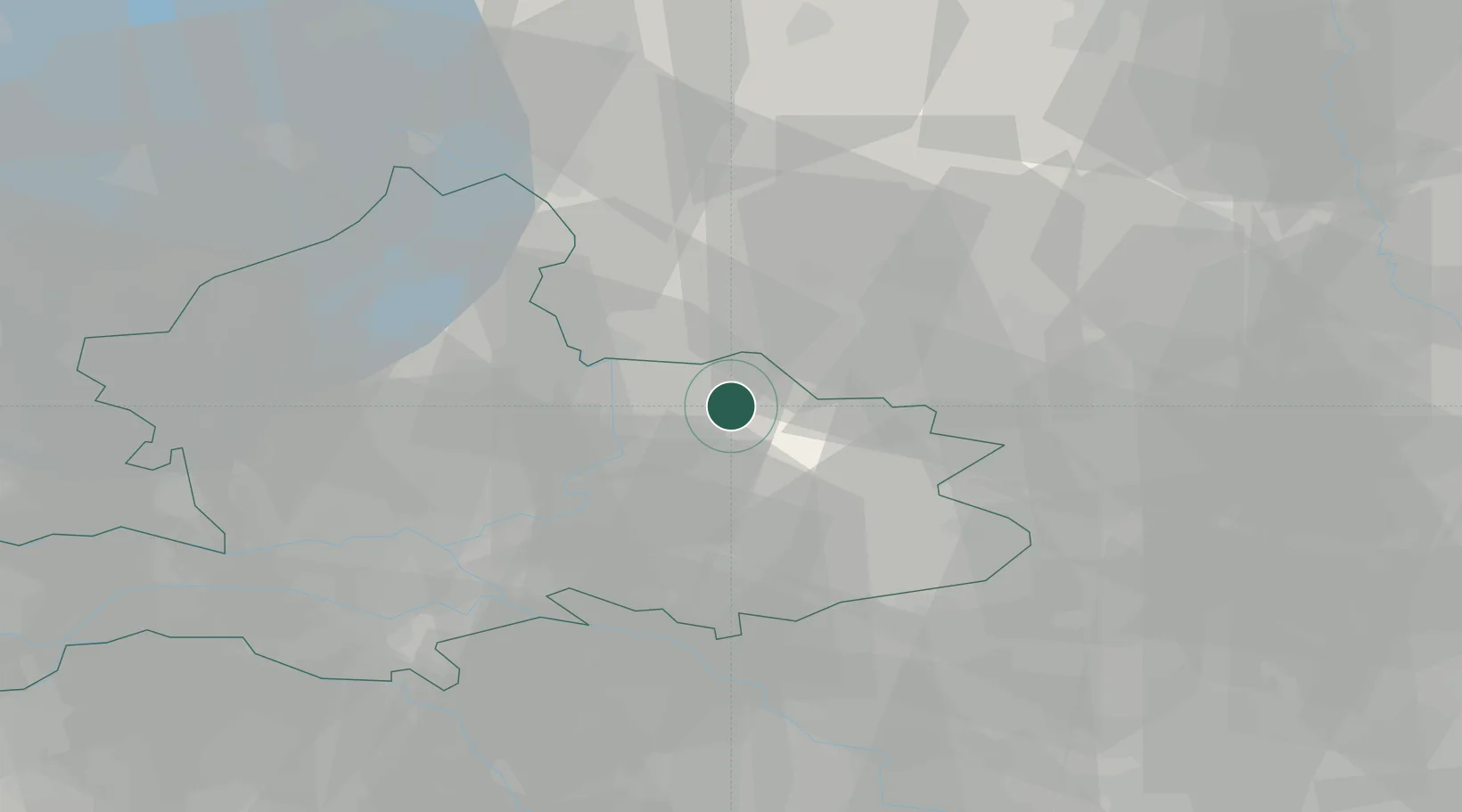
Location
Nearby Logistics Neighbours
Cities
- 1Almen5 km
- 2Hellendoorn7 km
- 3Eefde9 km
- 4Lettele15 km
- 5Bussloo16 km
Airports
- 1Deelen Air Base36 km
- 2Twente Airport38 km
- 3Weeze (Niederrhein) Airport65 km
- 4Lelystad Airport66 km
- 5Volkel Air Base73 km
Trade Zones
DatabookThe Record of Consolidated Knowledge
Netherlands beyond logistics?