Transport Functions
Multimodal
Hub Profile
Place type
Populated place
Region
Gelderland
Population
710
Time zone
Europe/Amsterdam
Elevation
11 m
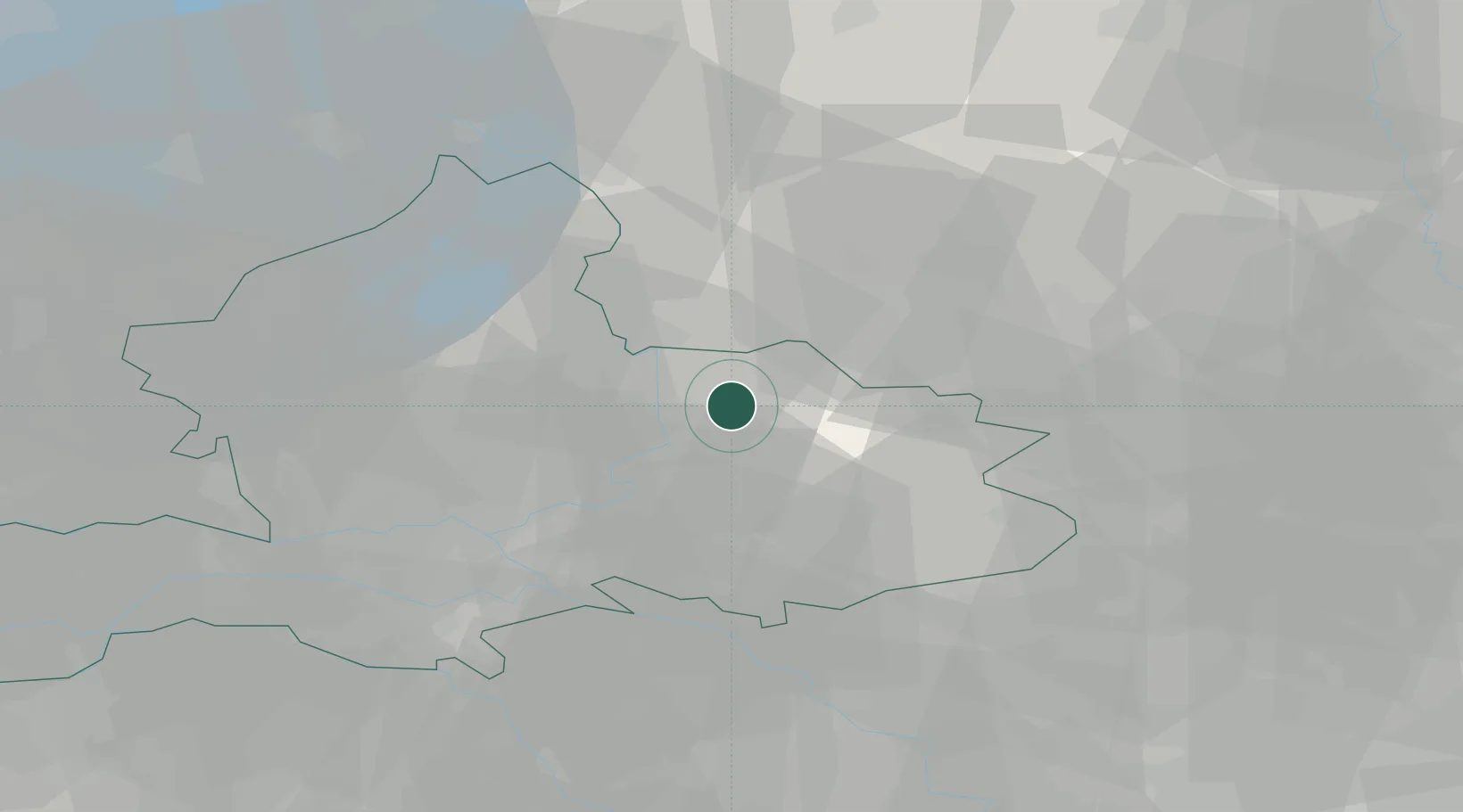
Location
Nearby Logistics Neighbours
Cities
- 1Eefde5 km
- 2Groot Dochteren5 km
- 3Hellendoorn12 km
- 4Steenderen12 km
- 5Toldijk13 km
Airports
- 1Deelen Air Base31 km
- 2Twente Airport43 km
- 3Weeze (Niederrhein) Airport62 km
- 4Lelystad Airport63 km
- 5Volkel Air Base68 km
Trade Zones
DatabookThe Record of Consolidated Knowledge
Netherlands beyond logistics?