Transport Functions
Road
Multimodal
Hub Profile
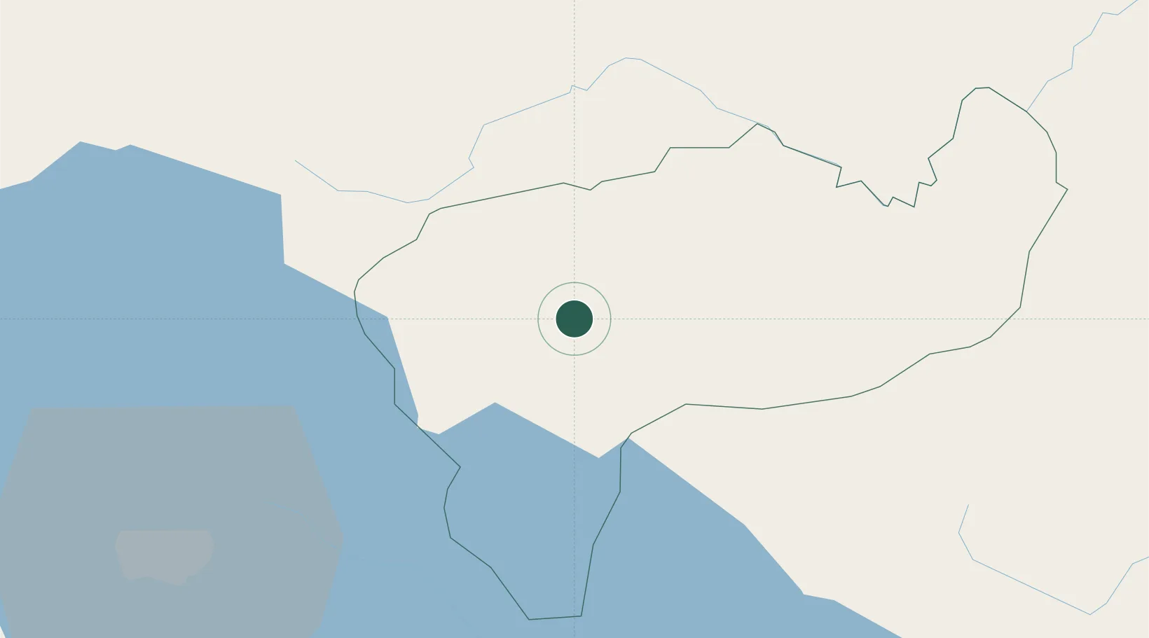
Place type
Regional capital
Region
Boaco Department
Population
29,046
Time zone
America/Managua
Elevation
335 m
Location
Nearby Logistics Neighbours
Cities
- 1Los Brasiles37 km
- 2Malacatoya40 km
- 3Las Maderas40 km
- 4San Benito (Tipitapa)47 km
- 5Juigalpa52 km
Ports
- 1Puerto Sandino124 km
- 2Corinto163 km
- 3Bluefields214 km
- 4Puerto De Hencan219 km
- 5El Bluff220 km
Airports
DatabookThe Record of Consolidated Knowledge
Nicaragua beyond logistics?