Channel & Berth Profile
Pilotage, Tugs & Services
Pilotage compulsoryYES
Pilotage availableYES
Tug assistanceYES
Potable waterYES
Diesel bunkersYES
MedicalYES
Garbage disposalNO
Facilities & Capabilities
Container—
Ro-Ro—
Liquid bulk—
Dry bulk—
Oil terminal—
Break bulk—
Dry dockNO
RepairsNO
BunkeringYES
Rail link—
Dangerous cargo—
ISPS security—
Harbour Specifications
Harbour size
Very Small
Harbour type
Coastal (Natural)
Water body
Caribbean Sea; North Atlantic Ocean
Overhead limit
Yes
Pilotage
Yes
Liner Connectivity
8.4
PLSCI
Port Liner Shipping Connectivity Index for El Bluff, as published by UNCTAD for the latest available quarter. Higher values indicate stronger scheduled liner-shipping integration.
Shown relative to the highest per-port PLSCI in the dataset (1,657.9).
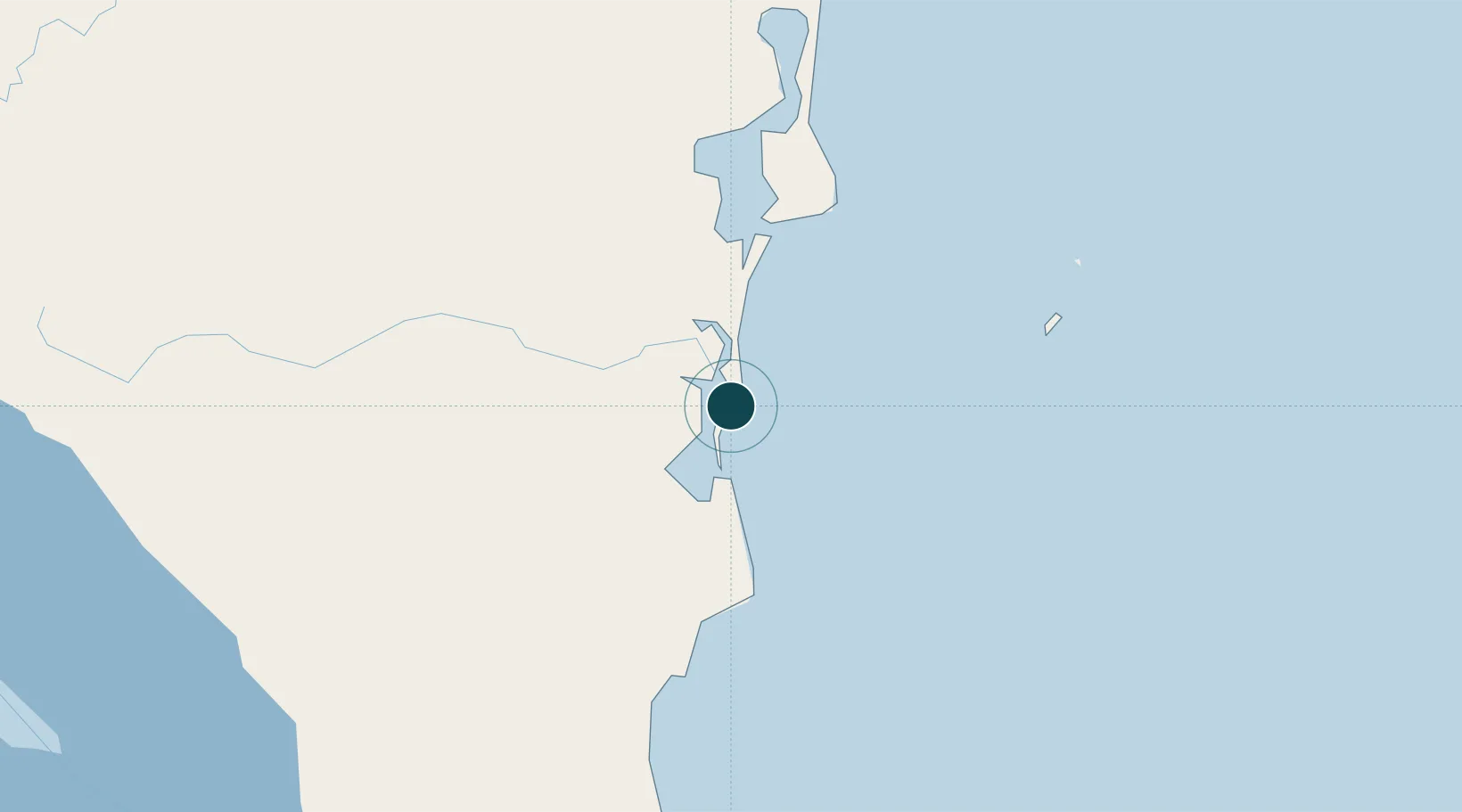
Location
Nearby Logistics Neighbours
Ports
- 1Bluefields6 km
- 2San Andres Island226 km
- 3Puerto Cabezas227 km
- 4Puerto Moin232 km
- 5Puerto Limon236 km
Cities
- 1Rama59 km
- 2Puerto Isabel153 km
- 3Libertad-Chontales161 km
- 4Cutris164 km
- 5Horluetas/Sarapiqui172 km
Airports
- 1Bluefields Airport8 km
- 2Corn Island Airport72 km
- 3Barra del Colorado Airport138 km
- 4Los Chiles Airport153 km
- 5Aerotortuguero Airport176 km
Trade Zones
- 1CR Green Valley Business and Technology Park152 km
- 2FreeHold Free Zone213 km
- 3AAA Top Talent Free Trade Zone225 km
- 4Activa Industrial Park227 km
- 5Global Park Free Zone229 km
DatabookThe Record of Consolidated Knowledge
Nicaragua beyond logistics?