Transport Functions
Road
Multimodal
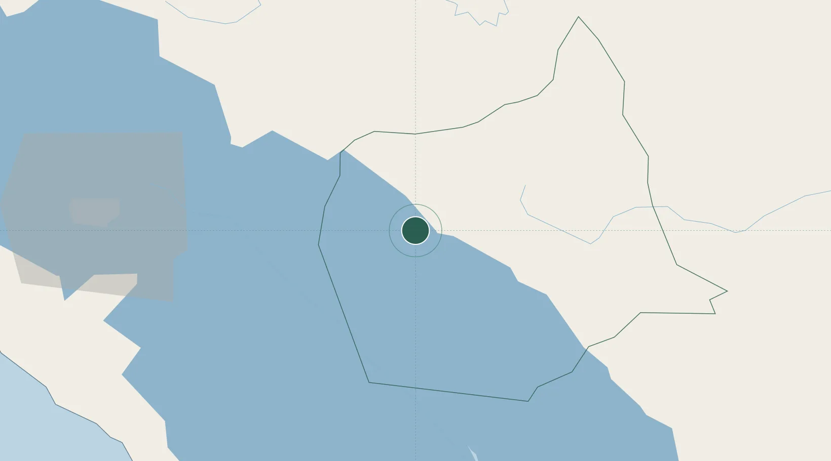
Hub Profile
Place type
Regional capital
Region
Chontales Department
Population
50,000
Time zone
America/Managua
Elevation
105 m
Location
Nearby Logistics Neighbours
Cities
- 1Libertad-Chontales29 km
- 2Malacatoya48 km
- 3Boaco52 km
- 4Los Brasiles62 km
- 5San Benito (Tipitapa)77 km
Ports
- 1Puerto Sandino149 km
- 2Bluefields180 km
- 3El Bluff185 km
- 4Corinto197 km
- 5Puntarenas242 km
Airports
Trade Zones
- 1Astro Nicaragua, SA76 km
- 2Zona Franca San Gabriel76 km
- 3Zona Franca Industrial Tipitapa, SA76 km
- 4Zona Franca Coyotepe77 km
- 5Cupid Free Trade Zone77 km
DatabookThe Record of Consolidated Knowledge
Nicaragua beyond logistics?