Transport Functions
Multimodal
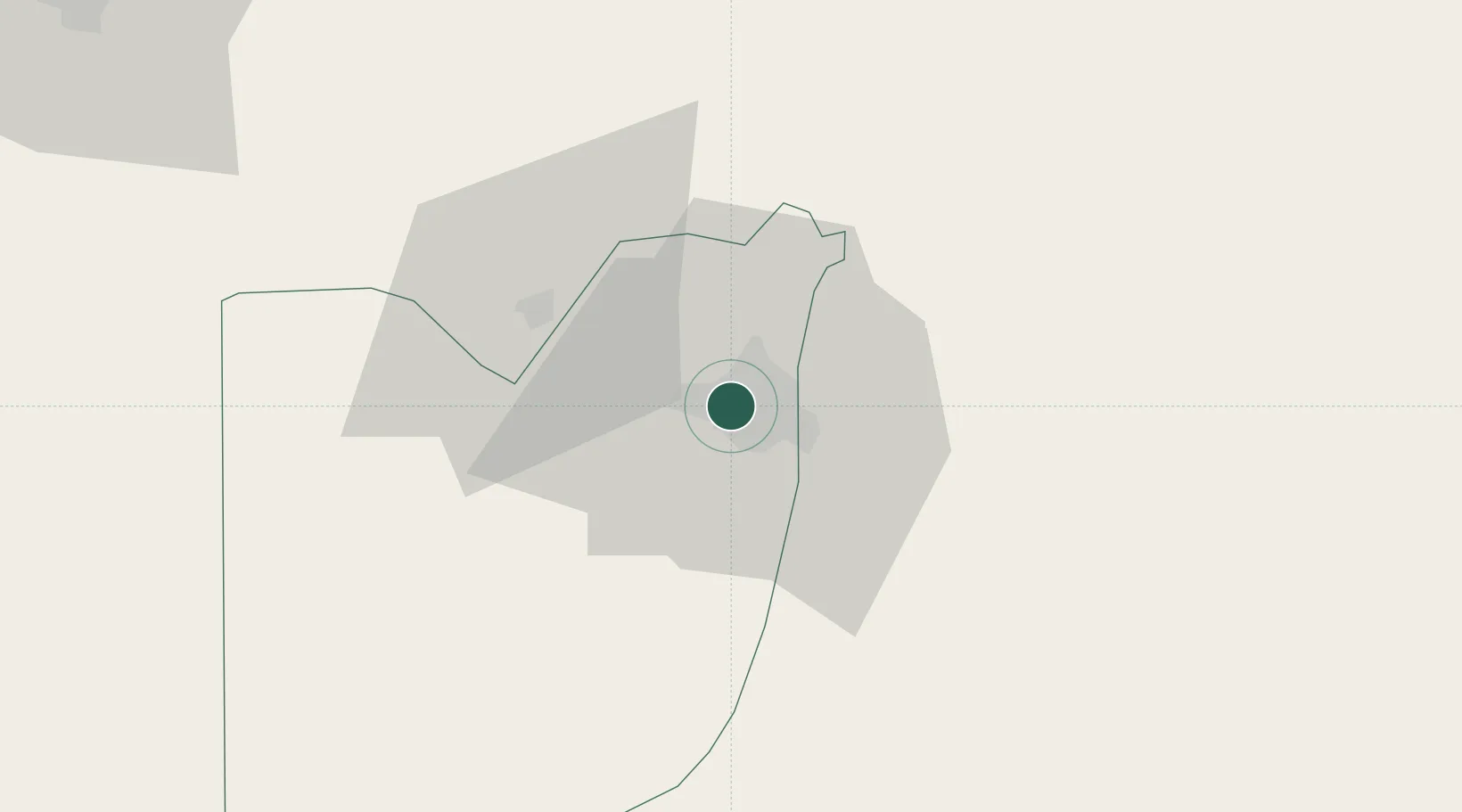
Hub Profile
Place type
Populated place
Region
FCT
Time zone
Africa/Lagos
Elevation
471 m
Location
Nearby Logistics Neighbours
Airports
- 1Nnamdi Azikiwe International Airport23 km
- 2Minna Airport128 km
- 3Yakubu Gowon Airport167 km
- 4Kaduna International Airport182 km
- 5Makurdi Airport197 km
Trade Zones
DatabookThe Record of Consolidated Knowledge
Nigeria beyond logistics?