Medium airport · Nigeria

Yakubu Gowon AirportDNJO
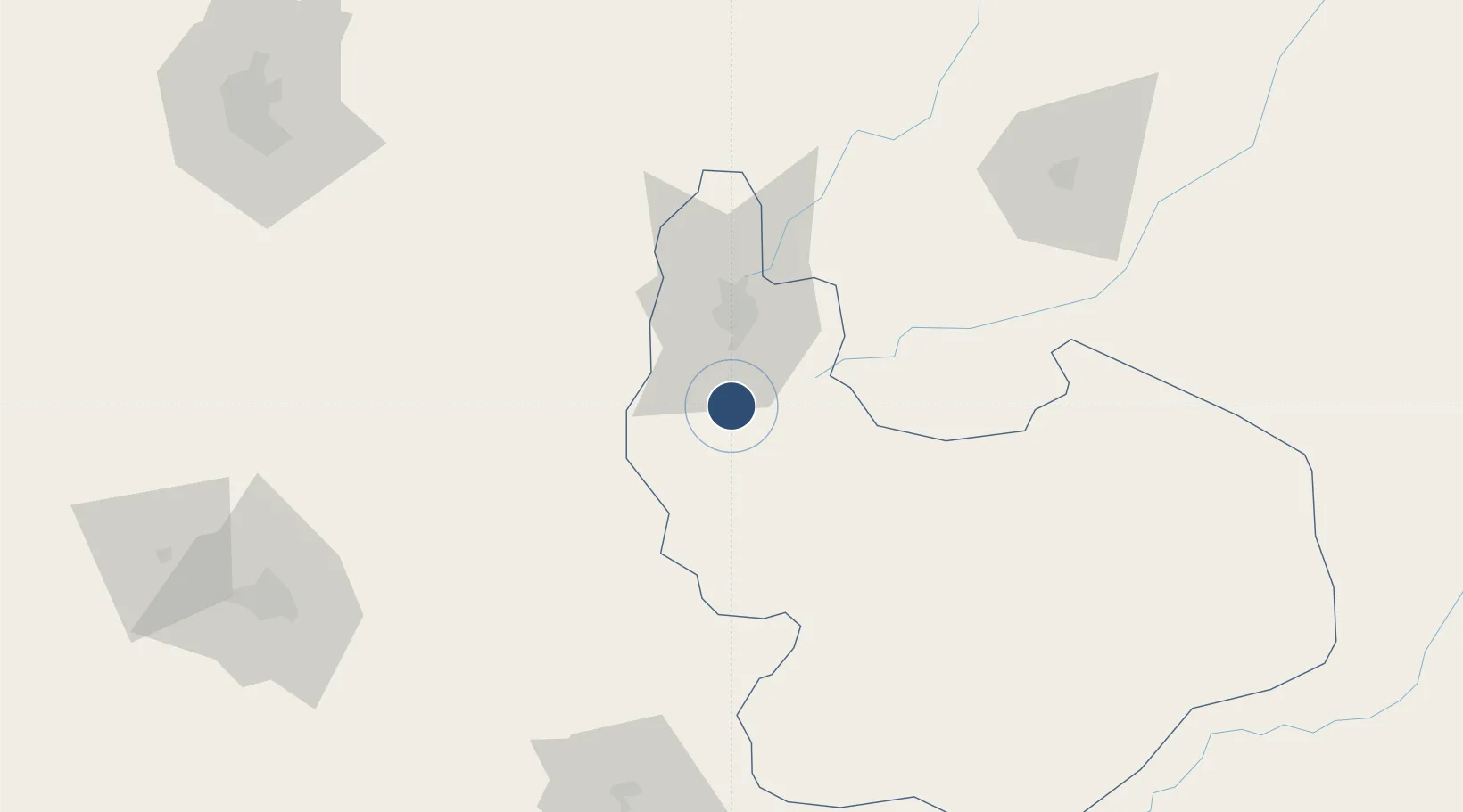
9.6398°, 8.8690°
9,845 ft
Longest runway
1
Runways
4,232 ft
Elevation

Runway & Layout

Yakubu Gowon Airport runway & taxiway layout
Runway & taxiway layout — OpenStreetMap (ODbL) / OurAirports

Radio Frequencies

TWR
122.7 MHz
JOS TWR
OurAirports

Navaids

JOS VOR-DME Jos 113.10 MHz
OurAirports

Runways · 1

RunwayDimensions SurfaceTrue headingLit
10/28 9,845 × 148ft Asphalt 095°
OurAirports

Airport Specifications

IATA code
JOS
OurAirports
ICAO code
DNJO
OurAirports
Airport class
Medium airport
OurAirports
Scheduled service
Yes
OurAirports
Runway surface
Asphalt
OurAirports
Served city
Jos
OurAirports

Location

Location of DNJO
Natural Earth 10m (public domain) · Plateau · DNJO · 9.64, 8.87GoogleOSMYandex

Nearby Logistics Neighbours

Airports
  1. 1Sir Abubakar Tafawa Balewa Bauchi State International Airport134 km
  2. 2Nnamdi Azikiwe International Airport190 km
  3. 3Kaduna International Airport206 km
  4. 4Zaria Airport210 km
  5. 5Makurdi Airport217 km
Nearest neighbours — logibook spatial index (haversine) over the source coordinates
Cities
  1. 1Anta49 km
  2. 2Maitama163 km
  3. 3Wuse167 km
  4. 4Gombe262 km
  5. 5Kano265 km
Nearest neighbours — logibook spatial index (haversine) over the source coordinates
Ports
  1. 1Calabar523 km
  2. 2Sapele544 km
  3. 3Koko552 km
  4. 4Warri574 km
  5. 5Port Harcourt580 km
Nearest neighbours — logibook spatial index (haversine) over the source coordinates
Trade Zones
  1. 1Abuja Tech. Village Free Zone163 km
  2. 2Abuja Technology Village Free Zone178 km
  3. 3Centenary City191 km
  4. 4Kano Free Trade Zone272 km
  5. 5Sebore Farms Export Processing Zone354 km
Nearest neighbours — logibook spatial index (haversine) over the source coordinates
DatabookThe Record of Consolidated Knowledge
Nigeria beyond logistics?
Browse databook

All Sources

AirportsOurAirports
Public domain
Portsthe NGA World Port Index
Public domain (US gov)
LocationsUN/LOCODE
UN/LOCODE — free
Trade Zonesthe World Bank SEZ database
CC BY 4.0
Trade ZonesOpen Zone Map
CC BY
InfrastructureOpenStreetMap
ODbL 1.0
← Nigeria airports