Transport Functions
Multimodal
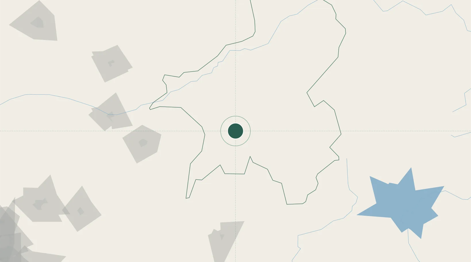
Hub Profile
Place type
Populated place
Region
Taraba State
Time zone
Africa/Lagos
Elevation
238 m
Location
Nearby Logistics Neighbours
Cities
- 1Nyanya179 km
- 2Borno259 km
- 3Banana279 km
- 4Nkongsamba289 km
- 5Anta301 km
Ports
- 1Calabar362 km
- 2Douala391 km
- 3Kole Oil Terminal414 km
- 4Limboh Terminal414 km
- 5Antan Oil Terminal429 km
Airports
- 1Bamenda Airport165 km
- 2Makurdi Airport195 km
- 3Foumban Nkounja Airport212 km
- 4Bafoussam Airport218 km
- 5Yakubu Gowon Airport289 km
Trade Zones
- 1Banengo Industrial Zone227 km
- 2Sebore Farms Export Processing Zone263 km
- 3Ebonyi Export Processing Zone281 km
- 4Enpower Enugu Free Zone331 km
- 5Ngaoundere Industrial Zone354 km
DatabookThe Record of Consolidated Knowledge
Nigeria beyond logistics?