Large airport · Nigeria

Nnamdi Azikiwe International AirportDNAA
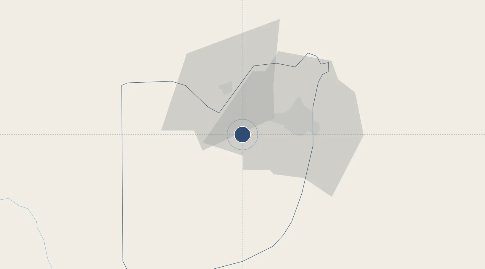
9.0068°, 7.2632°
11,842 ft
Longest runway
1
Runways
1,123 ft
Elevation

Runway & Layout

Nnamdi Azikiwe International Airport runway & taxiway layout
Runway & taxiway layout — OpenStreetMap (ODbL) / OurAirports

Radio Frequencies

ATIS
127.05 MHz
TWR
118.6 MHz
GND
121.9 MHz
APP
127.9 MHz
OurAirports

Navaids

ABC VOR-DME Abuja 116.30 MHz
AG NDB Abuja 321 kHz
GB VOR-DME Gboko 115.90 MHz
OurAirports

Runways · 1

RunwayDimensions SurfaceTrue headingLit
04/22 11,842 × 197ft Asphalt 035°
OurAirports

Airport Specifications

IATA code
ABV
OurAirports
ICAO code
DNAA
OurAirports
Airport class
Large airport
OurAirports
Scheduled service
Yes
OurAirports
Runway surface
Asphalt
OurAirports
Served city
Abuja
OurAirports

Location

Location of DNAA
Natural Earth 10m (public domain) · Federal Capital Territory · DNAA · 9.01, 7.26GoogleOSMYandex

Nearby Logistics Neighbours

Airports
  1. 1Minna Airport114 km
  2. 2Kaduna International Airport188 km
  3. 3Yakubu Gowon Airport190 km
  4. 4Makurdi Airport208 km
  5. 5Zaria Airport241 km
Nearest neighbours — logibook spatial index (haversine) over the source coordinates
Cities
  1. 1Wuse23 km
  2. 2Maitama26 km
  3. 3Anta141 km
  4. 4Anambra194 km
  5. 5Ogudu223 km
Nearest neighbours — logibook spatial index (haversine) over the source coordinates
Ports
  1. 1Sapele387 km
  2. 2Koko389 km
  3. 3Warri423 km
  4. 4Burutu451 km
  5. 5Ukpokiti Marine Terminal452 km
Nearest neighbours — logibook spatial index (haversine) over the source coordinates
Trade Zones
  1. 1Centenary City7 km
  2. 2Abuja Technology Village Free Zone15 km
  3. 3Abuja Tech. Village Free Zone27 km
  4. 4Enpower Enugu Free Zone285 km
  5. 5Ebonyi Export Processing Zone316 km
Nearest neighbours — logibook spatial index (haversine) over the source coordinates
DatabookThe Record of Consolidated Knowledge
Nigeria beyond logistics?
Browse databook

All Sources

AirportsOurAirports
Public domain
Portsthe NGA World Port Index
Public domain (US gov)
LocationsUN/LOCODE
UN/LOCODE — free
Trade Zonesthe World Bank SEZ database
CC BY 4.0
Trade ZonesOpen Zone Map
CC BY
InfrastructureOpenStreetMap
ODbL 1.0
← Nigeria airports