Transport Functions
Multimodal
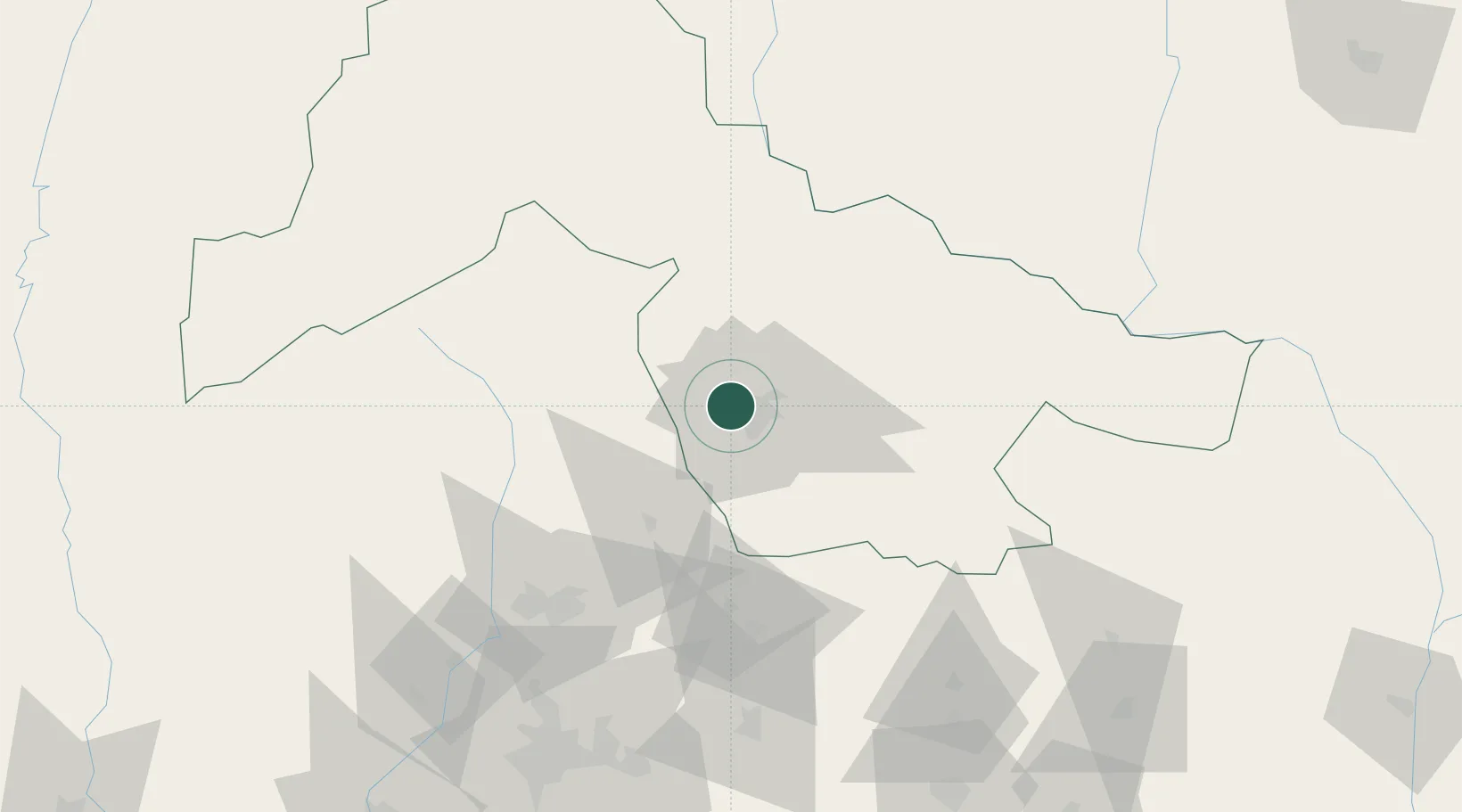
Hub Profile
Place type
Populated place
Region
Kwara State
Time zone
Africa/Lagos
Elevation
346 m
Location
Nearby Logistics Neighbours
Ports
- 1Lagos265 km
- 2Tin Can Island272 km
- 3Koko300 km
- 4Ukpokiti Marine Terminal312 km
- 5Sapele319 km
Airports
- 1General Tunde Idiagbon International Airport9 km
- 2Ibadan Airport141 km
- 3Akure Airport167 km
- 4Tourou International Airport240 km
- 5Minna Airport250 km
Trade Zones
DatabookThe Record of Consolidated Knowledge
Nigeria beyond logistics?