Runway & Layout

Airport Specifications
Airport class
Large airport
Scheduled service
Yes
Served city
Parakou
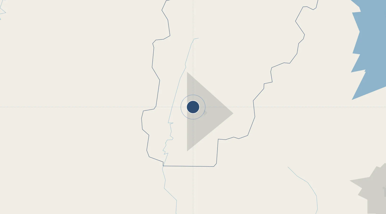
Location
Nearby Logistics Neighbours
Airports
Ports
- 1Cotonou338 km
- 2Lagos347 km
- 3Tin Can Island351 km
- 4Kpeme371 km
- 5Lome387 km
Trade Zones
- 1Ogun Guangdong Free Trade Zone265 km
- 2Oluyole Free Trade Zone270 km
- 3Kwara Free Trade Zone281 km
- 4Living Spring Free Trade Zone286 km
- 5Allada Special Agro-Industrial Zone307 km
DatabookThe Record of Consolidated Knowledge
Benin beyond logistics?