Transport Functions
Multimodal
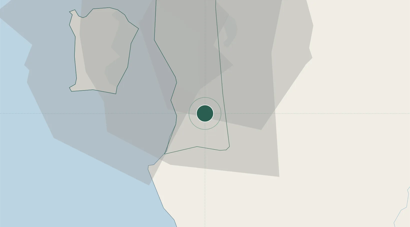
Hub Profile
Place type
Populated place
Region
Penang
Population
4,000
Time zone
Asia/Kuala_Lumpur
Elevation
8 m
Location
Nearby Logistics Neighbours
Cities
- 1Seberang Perai Selatan6 km
- 2Nibong Tebal6 km
- 3Penang7 km
- 4Batu Kawan10 km
- 5Prai20 km
Ports
- 1Pulau Pinang28 km
- 2Lumut110 km
- 3Teluk Anson145 km
- 4Port Langkawi158 km
- 5Pattani212 km
Airports
Trade Zones
DatabookThe Record of Consolidated Knowledge
Malaysia beyond logistics?