Transport Functions
Multimodal
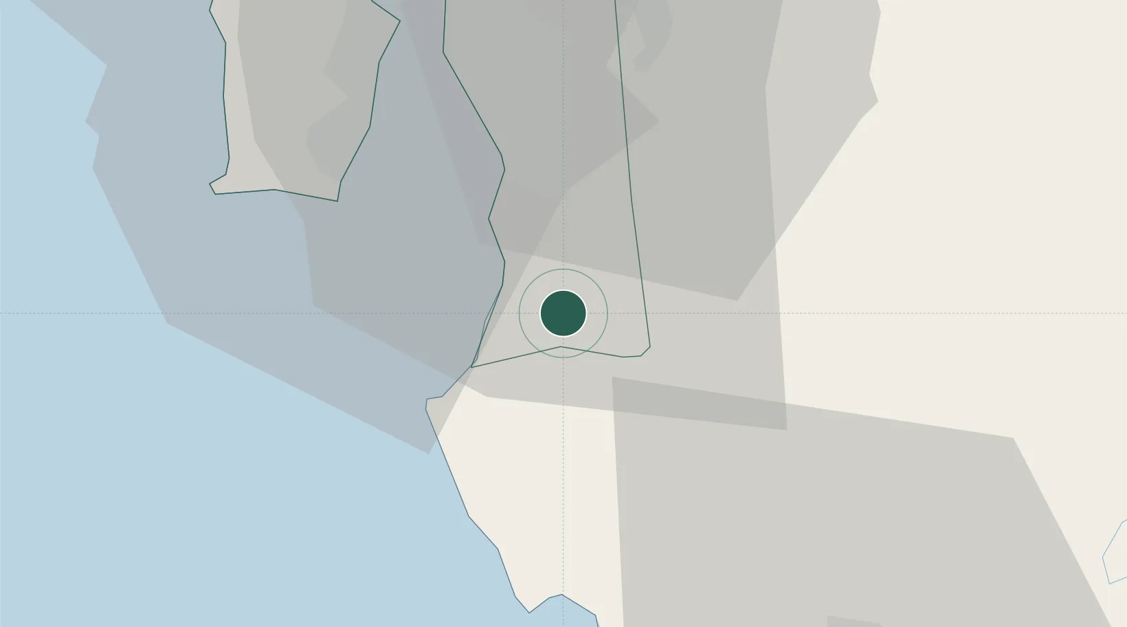
Hub Profile
Place type
Populated place
Region
Penang
Population
40,072
Time zone
Asia/Kuala_Lumpur
Elevation
5 m
Location
Nearby Logistics Neighbours
Cities
- 1Penang2 km
- 2Seberang Perai Selatan5 km
- 3Sungai Bakap6 km
- 4Batu Kawan12 km
- 5Prai24 km
Ports
- 1Pulau Pinang32 km
- 2Lumut105 km
- 3Teluk Anson141 km
- 4Port Langkawi162 km
- 5Pattani218 km
Airports
- 1Penang International Airport27 km
- 2RMAF Butterworth Air Base35 km
- 3Sultan Azlan Shah Airport95 km
- 4Betong International Airport101 km
- 5Pulau Pangkor Airport103 km
DatabookThe Record of Consolidated Knowledge
Malaysia beyond logistics?