UN/LOCODE hub · Malaysia
MYPRA

Prai

5.3715°, 100.4154°
1
Transport functions

Transport Functions

Port
UN/LOCODE

Hub Profile

Logistics facilities
3
UN/LOCODE

Location

Location of MYPRA
Natural Earth 10m (public domain) · Pulau Pinang · MYPRA · 5.37, 100.42GoogleOSMYandex

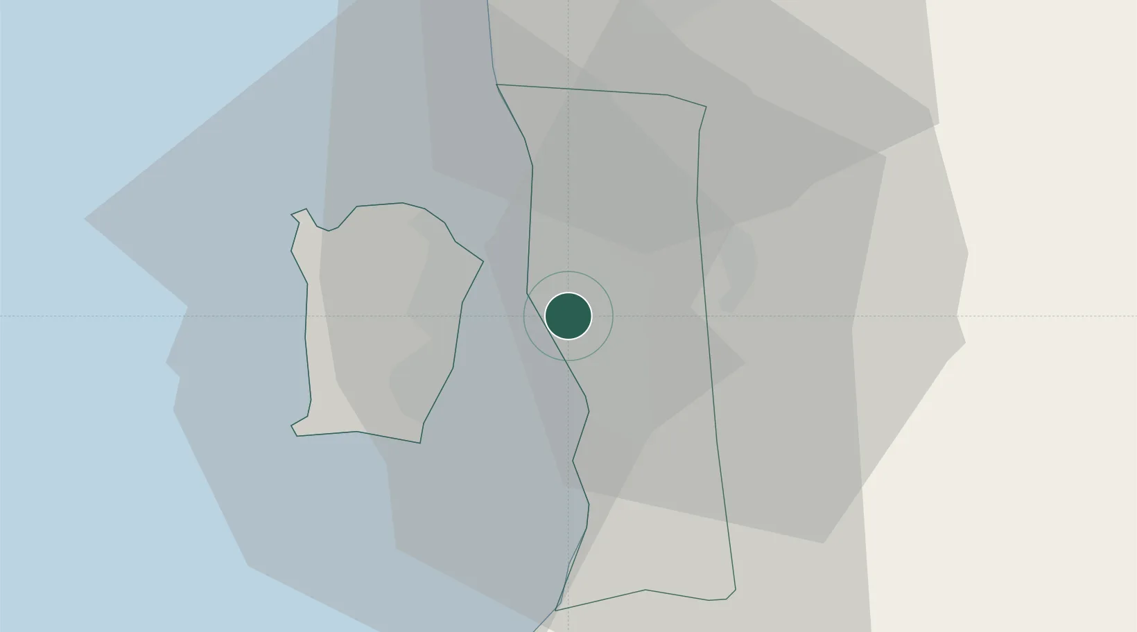
Nearby Logistics Neighbours

Cities
  1. 1Perai5 km
  2. 2Butterworth6 km
  3. 3George Town10 km
  4. 4Penang (Georgetown)11 km
  5. 5Jelutong11 km
Nearest neighbours — logibook spatial index (haversine) over the source coordinates
Ports
  1. 1Pulau Pinang9 km
  2. 2Lumut129 km
  3. 3Port Langkawi138 km
  4. 4Teluk Anson165 km
  5. 5Pattani201 km
Nearest neighbours — logibook spatial index (haversine) over the source coordinates
Airports
  1. 1RMAF Butterworth Air Base11 km
  2. 2Penang International Airport18 km
  3. 3Sultan Abdul Halim Airport91 km
  4. 4Betong International Airport94 km
  5. 5Sultan Azlan Shah Airport117 km
Nearest neighbours — logibook spatial index (haversine) over the source coordinates
Trade Zones
  1. 1Butterworth Free Commercial Zone5 km
  2. 2Northern Corridor Economic Region9 km
  3. 3Bayan Lepas Free Zone15 km
  4. 4Bayan Lepas Free Commercial Zone17 km
  5. 5Perai Free Industrial Zone17 km
Nearest neighbours — logibook spatial index (haversine) over the source coordinates
DatabookThe Record of Consolidated Knowledge
Malaysia beyond logistics?
Browse databook

All Sources

LocationsUN/LOCODE
UN/LOCODE — free
Portsthe NGA World Port Index
Public domain (US gov)
AirportsOurAirports
Public domain
Trade Zonesthe World Bank SEZ database
CC BY 4.0
Trade ZonesOpen Zone Map
CC BY
← Malaysia locations