UN/LOCODE hub · Malaysia
MYSPS

Seberang Perai Selatan

5.2000°, 100.4500°
1
Transport functions

Transport Functions

Multimodal
UN/LOCODE

Location

Location of MYSPS
Natural Earth 10m (public domain) · Pulau Pinang · MYSPS · 5.20, 100.45GoogleOSMYandex

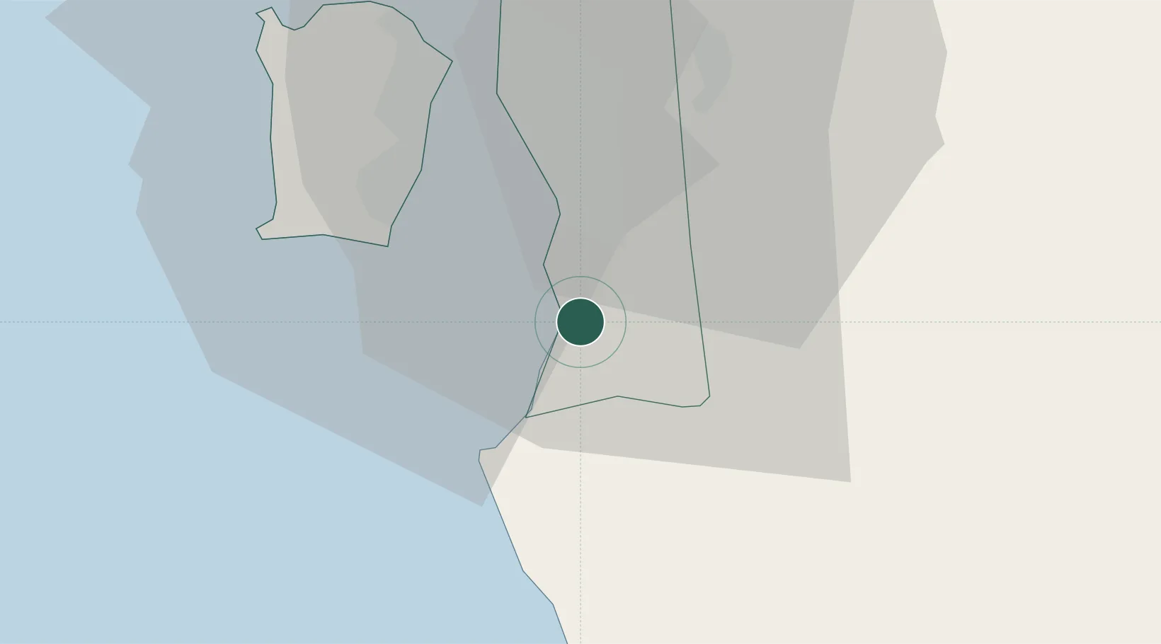
Nearby Logistics Neighbours

Cities
  1. 1Penang4 km
  2. 2Nibong Tebal5 km
  3. 3Sungai Bakap6 km
  4. 4Batu Kawan7 km
  5. 5Prai19 km
Nearest neighbours — logibook spatial index (haversine) over the source coordinates
Ports
  1. 1Pulau Pinang27 km
  2. 2Lumut109 km
  3. 3Teluk Anson146 km
  4. 4Port Langkawi157 km
  5. 5Pattani216 km
Nearest neighbours — logibook spatial index (haversine) over the source coordinates
Airports
  1. 1Penang International Airport22 km
  2. 2RMAF Butterworth Air Base30 km
  3. 3Sultan Azlan Shah Airport100 km
  4. 4Betong International Airport102 km
  5. 5Pulau Pangkor Airport107 km
Nearest neighbours — logibook spatial index (haversine) over the source coordinates
Trade Zones
  1. 1Northern Corridor Economic Region11 km
  2. 2Bayan Lepas Free Zone21 km
  3. 3Second Air Cargo Complex (Kkuk) Free Zone Penang23 km
  4. 4Bayan Lepas Free Commercial Zone23 km
  5. 5Perai Free Industrial Zone23 km
Nearest neighbours — logibook spatial index (haversine) over the source coordinates
DatabookThe Record of Consolidated Knowledge
Malaysia beyond logistics?
Browse databook

All Sources

LocationsUN/LOCODE
UN/LOCODE — free
Portsthe NGA World Port Index
Public domain (US gov)
AirportsOurAirports
Public domain
Trade Zonesthe World Bank SEZ database
CC BY 4.0
Trade ZonesOpen Zone Map
CC BY
← Malaysia locations