UN/LOCODE hub · Malaysia
MYNTL

Penang

5.1667°, 100.4667°
1
Transport functions

Transport Functions

Multimodal
UN/LOCODE

Location

Location of MYNTL
Natural Earth 10m (public domain) · Pulau Pinang · MYNTL · 5.17, 100.47GoogleOSMYandex

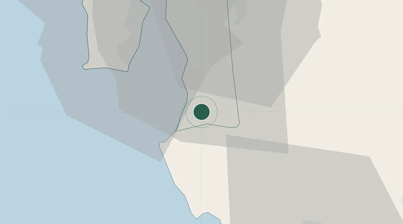
Nearby Logistics Neighbours

Cities
  1. 1Nibong Tebal2 km
  2. 2Seberang Perai Selatan4 km
  3. 3Sungai Bakap7 km
  4. 4Batu Kawan11 km
  5. 5Prai24 km
Nearest neighbours — logibook spatial index (haversine) over the source coordinates
Ports
  1. 1Pulau Pinang31 km
  2. 2Lumut105 km
  3. 3Teluk Anson142 km
  4. 4Port Langkawi161 km
  5. 5Pattani219 km
Nearest neighbours — logibook spatial index (haversine) over the source coordinates
Airports
  1. 1Penang International Airport26 km
  2. 2RMAF Butterworth Air Base34 km
  3. 3Sultan Azlan Shah Airport96 km
  4. 4Betong International Airport103 km
  5. 5Pulau Pangkor Airport103 km
Nearest neighbours — logibook spatial index (haversine) over the source coordinates
Trade Zones
  1. 1Northern Corridor Economic Region15 km
  2. 2Bayan Lepas Free Zone25 km
  3. 3Second Air Cargo Complex (Kkuk) Free Zone Penang26 km
  4. 4Bayan Lepas Free Commercial Zone27 km
  5. 5Perai Free Industrial Zone27 km
Nearest neighbours — logibook spatial index (haversine) over the source coordinates
DatabookThe Record of Consolidated Knowledge
Malaysia beyond logistics?
Browse databook

All Sources

LocationsUN/LOCODE
UN/LOCODE — free
Portsthe NGA World Port Index
Public domain (US gov)
AirportsOurAirports
Public domain
Trade Zonesthe World Bank SEZ database
CC BY 4.0
Trade ZonesOpen Zone Map
CC BY
← Malaysia locations