Free Trade Zone · Malaysia

Perai Free Industrial Zone Active
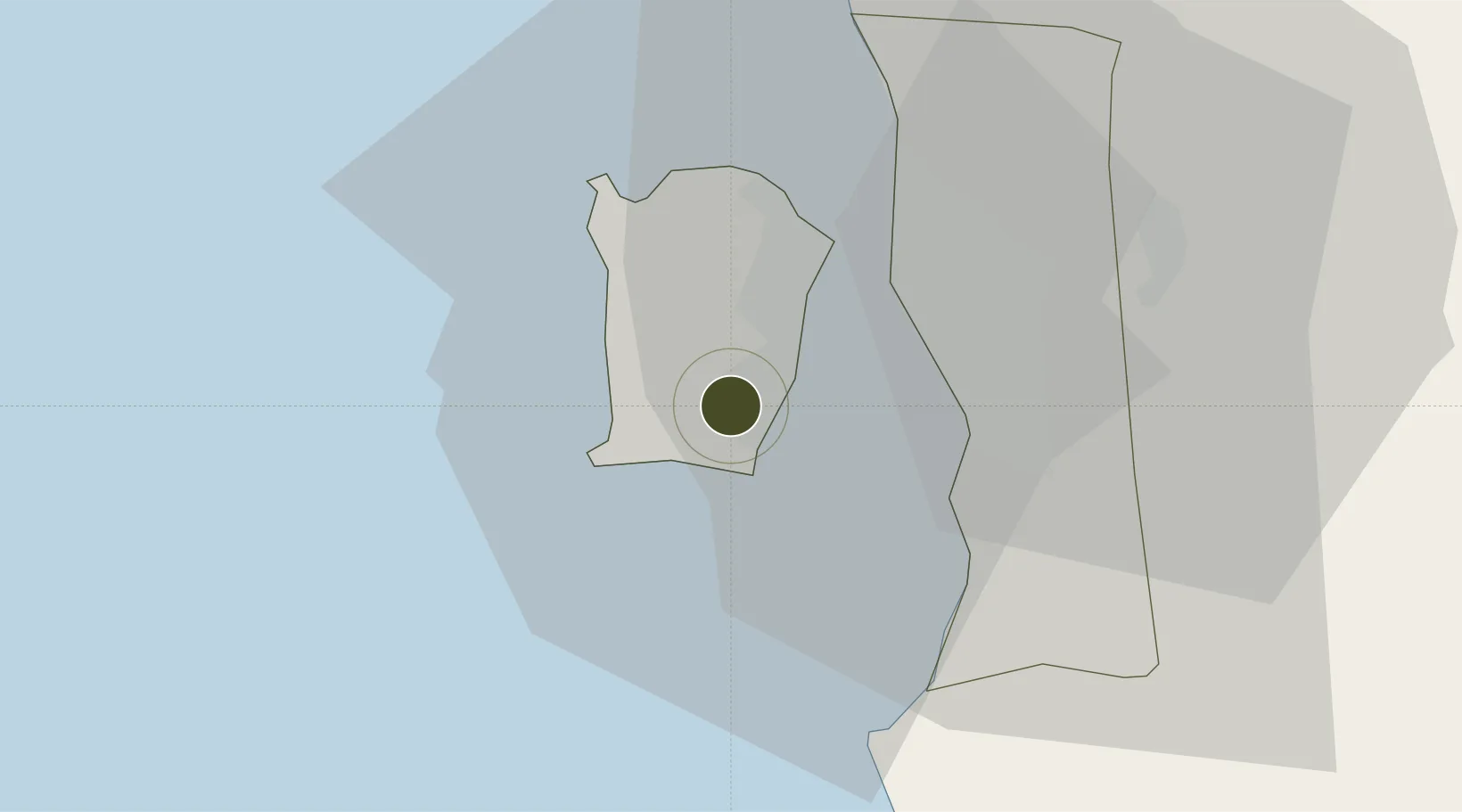
5.3090°, 100.2745°
4 ha
Zone area
14.6 km
Nearest port
1.4 km
Nearest airport

Gateway access

Nearest neighbours — logibook spatial index (haversine) over the source coordinates

Zone profile

Zone type
Free Trade Zone
Open Zone Map
Region
Pulau Pinang
Open Zone Map
Status
Active
Open Zone Map
Management
Public
Open Zone Map
Operator
Penang Development Corporation (PDC)
Open Zone Map
Legal framework
Free Zones Act of 1990 (Act 438)
Open Zone Map

Location

Location of ozm-2789
Natural Earth 10m (public domain) · Pulau Pinang · ozm-2789 · 5.31, 100.27GoogleOSMYandex

Nearby Logistics Neighbours

Ports
  1. 1Pulau Pinang15 km
  2. 2Lumut126 km
  3. 3Port Langkawi137 km
  4. 4Teluk Anson166 km
  5. 5Pattani215 km
Nearest neighbours — logibook spatial index (haversine) over the source coordinates
Airports
  1. 1Penang International Airport1 km
  2. 2RMAF Butterworth Air Base22 km
  3. 3Sultan Abdul Halim Airport99 km
  4. 4Betong International Airport111 km
  5. 5Pulau Pangkor Airport122 km
Nearest neighbours — logibook spatial index (haversine) over the source coordinates
Cities
  1. 1Batu Maung3 km
  2. 2Jelutong11 km
  3. 3Perai14 km
  4. 4George Town14 km
  5. 5Pulau Tikus15 km
Nearest neighbours — logibook spatial index (haversine) over the source coordinates
DatabookThe Record of Consolidated Knowledge
Malaysia beyond logistics?
Browse databook

All Sources

Trade ZonesOpen Zone Map
CC BY
Portsthe NGA World Port Index
Public domain (US gov)
AirportsOurAirports
Public domain
LocationsUN/LOCODE
UN/LOCODE — free
← Malaysia trade zones