Transport Functions
Multimodal
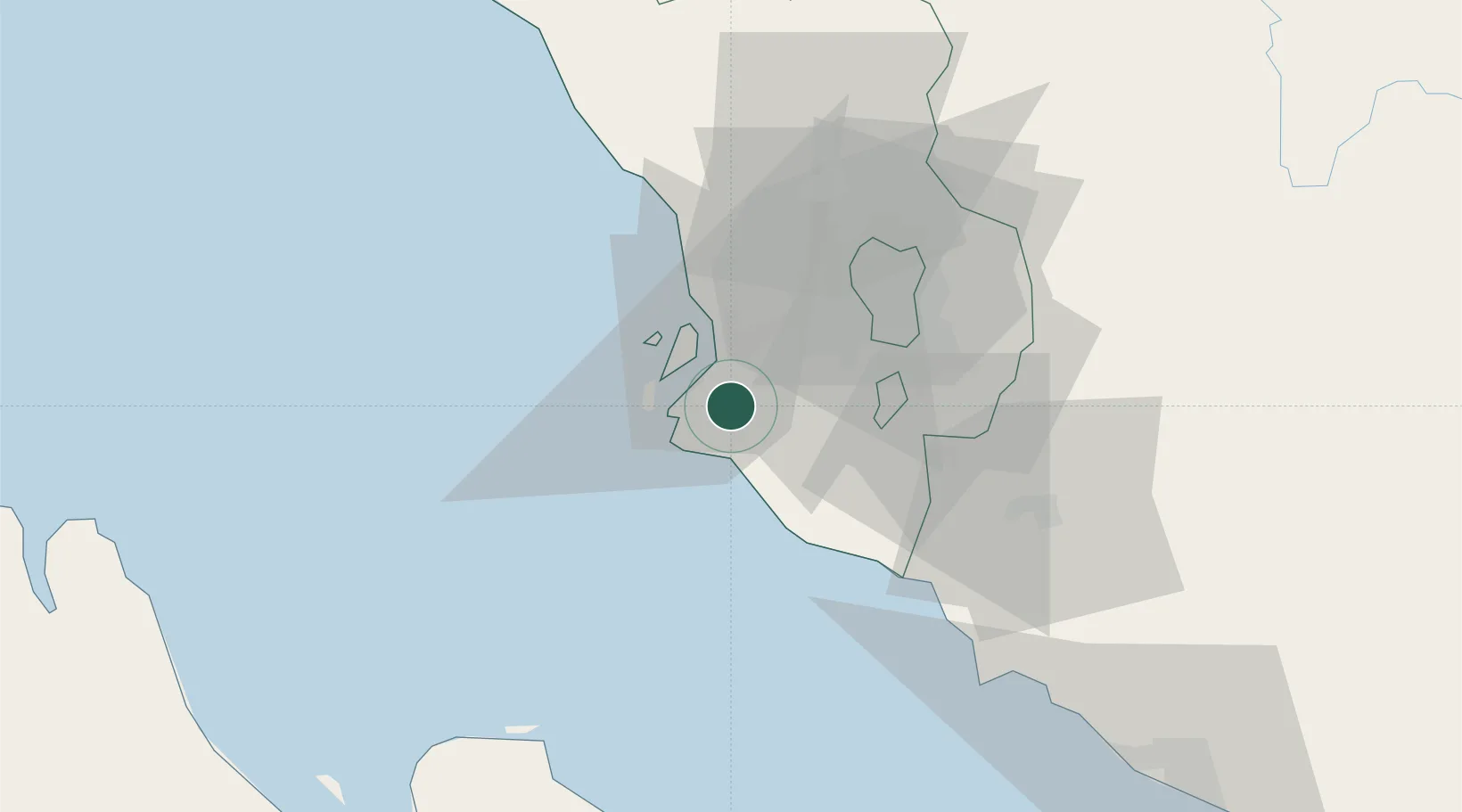
Location
Nearby Logistics Neighbours
Cities
- 1Pulau Indah9 km
- 2Port Klang (Pelabuhan Klang)10 km
- 3Northport/Pt Klang10 km
- 4Port Klang (Ferry Port)12 km
- 5Klang14 km
Ports
- 1Port Klang9 km
- 2Port Dickson60 km
- 3Pelabuhan Sungai Udang110 km
- 4Melaka124 km
- 5Teluk Anson130 km
Airports
Trade Zones
DatabookThe Record of Consolidated Knowledge
Malaysia beyond logistics?