Diversified Zone · Malaysia

Selangor Halal Hub Pulau Indah (Shh) Under Development
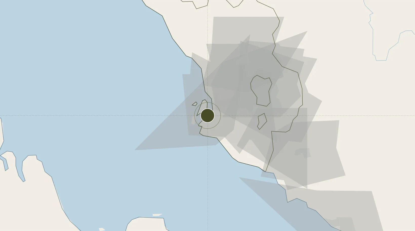
2.9664°, 101.3391°
283 ha
Zone area
7.7 km
Nearest port
29.6 km
Nearest airport

Gateway access

Nearest neighbours — logibook spatial index (haversine) over the source coordinates

Zone profile

Zone type
Diversified Zone
Open Zone Map
Region
Selangor
Open Zone Map
Status
Under Development
Open Zone Map
Management
Public-Private Partnership
Open Zone Map
Operator
Central Spectrum (M) Sdn Bhd (183136-D)
Open Zone Map
Legal framework
Promotion of Investments Act 1986 and the Income Tax Act 1967.
Open Zone Map

Location

Location of ozm-2762
Natural Earth 10m (public domain) · Selangor · ozm-2762 · 2.97, 101.34GoogleOSMYandex

Nearby Logistics Neighbours

Ports
  1. 1Port Klang8 km
  2. 2Port Dickson69 km
  3. 3Pelabuhan Sungai Udang119 km
  4. 4Teluk Anson122 km
  5. 5Melaka132 km
Nearest neighbours — logibook spatial index (haversine) over the source coordinates
Airports
  1. 1Sultan Abdul Aziz Shah International Airport30 km
  2. 2Kuala Lumpur International Airport48 km
  3. 3Malacca International Airport128 km
  4. 4Pinang Kampai Airport151 km
  5. 5Pulau Pangkor Airport167 km
Nearest neighbours — logibook spatial index (haversine) over the source coordinates
Cities
  1. 1Pulau Indah1 km
  2. 2Northport/Pt Klang1 km
  3. 3Port Klang (Pelabuhan Klang)6 km
  4. 4Port Klang (Ferry Port)6 km
  5. 5Carey Island Estate9 km
Nearest neighbours — logibook spatial index (haversine) over the source coordinates
Trade Zones
  1. 1Selangor Bio Bay (Sbb)3 km
  2. 2Pulau Indah Mils Logistics Hub4 km
  3. 3Westport Free Zone4 km
  4. 4Port Klang Free Zone6 km
  5. 5Northport Free Zone6 km
Nearest neighbours — logibook spatial index (haversine) over the source coordinates
DatabookThe Record of Consolidated Knowledge
Malaysia beyond logistics?
Browse databook

All Sources

Trade ZonesOpen Zone Map
CC BY
Portsthe NGA World Port Index
Public domain (US gov)
AirportsOurAirports
Public domain
LocationsUN/LOCODE
UN/LOCODE — free
← Malaysia trade zones