Transport Functions
Multimodal
Hub Profile
Place type
Populated place
Region
Mexico City
Population
384,326
Time zone
America/Mexico_City
Elevation
2,239 m
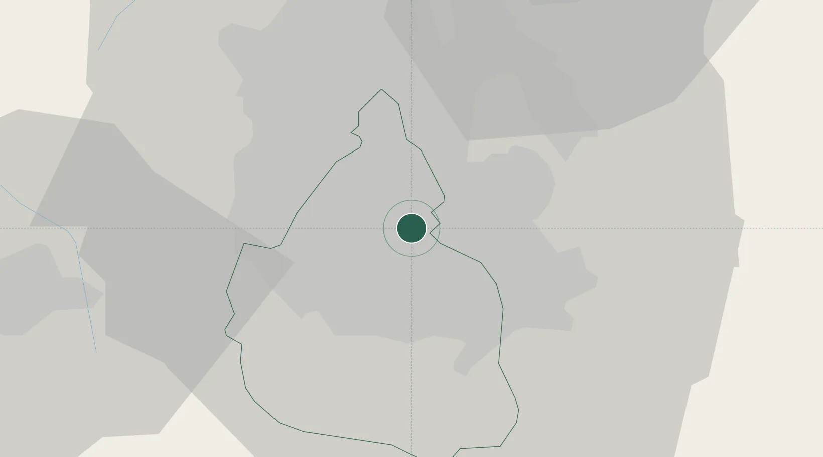
Location
Nearby Logistics Neighbours
Cities
- 1Nezahualcóyotl6 km
- 2Tlalpan14 km
- 3Xalostoc15 km
- 4Azcapotzalco17 km
- 5Santa Clara Coatitla17 km
Ports
- 1Tuxpan247 km
- 2Acapulco296 km
- 3Veracruz310 km
- 4Tampico340 km
- 5Lazaro Cardenas363 km
Airports
DatabookThe Record of Consolidated Knowledge
Mexico beyond logistics?