Transport Functions
Rail
Road
Multimodal
Hub Profile
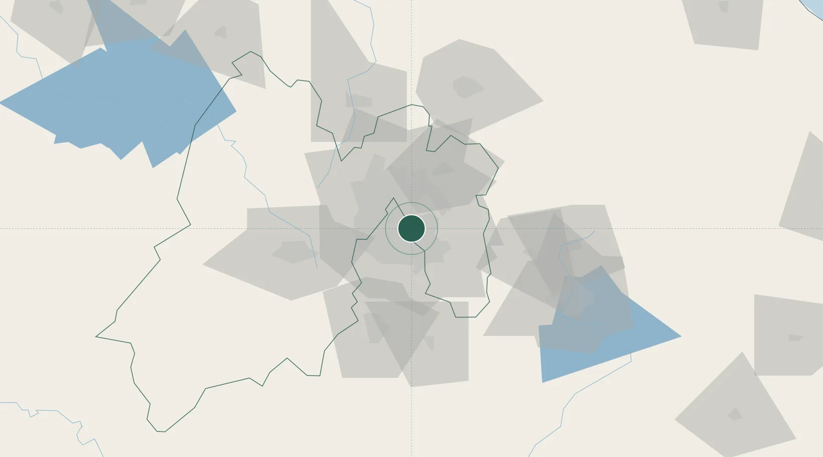
Place type
Urban district
Region
México
Time zone
America/Mexico_City
Elevation
2,212 m
Location
Nearby Logistics Neighbours
Cities
- 1Iztacalco6 km
- 2Xalostoc12 km
- 3Santa Clara Coatitla13 km
- 4Azcapotzalco18 km
- 5Chiconcuac20 km
Airports
DatabookThe Record of Consolidated Knowledge
Mexico beyond logistics?