UN/LOCODE hub · Mexico
MXTPJ

Tepeojuma

18.7167°, -98.4500°
4,788
Population
1
Transport functions

Transport Functions

Multimodal
UN/LOCODE

Hub Profile

Place type
Provincial seat
GeoNames
Region
Puebla
GeoNames
Population
4,788
GeoNames
Time zone
America/Mexico_City
GeoNames
Elevation
1,494 m
GeoNames

Location

Location of MXTPJ
Natural Earth 10m (public domain) · Puebla · MXTPJ · 18.72, -98.45GoogleOSMYandex

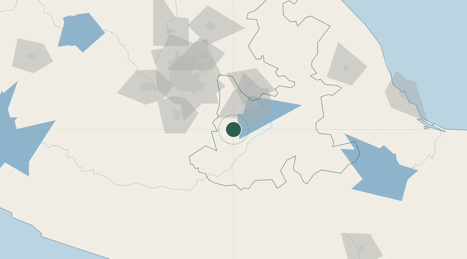
Nearby Logistics Neighbours

Cities
  1. 1Santa Isabel Cholula33 km
  2. 2Cuautlancingo45 km
  3. 3Cuautinchan52 km
  4. 4Tepetlixpac52 km
  5. 5San Miguel Xoxtla54 km
Nearest neighbours — logibook spatial index (haversine) over the source coordinates
Ports
  1. 1Veracruz250 km
  2. 2Acapulco260 km
  3. 3Tuxpan272 km
  4. 4Tampico394 km
  5. 5Lazaro Cardenas402 km
Nearest neighbours — logibook spatial index (haversine) over the source coordinates
Airports
  1. 1Hermanos Serdán International Airport50 km
  2. 2General Mariano Matamoros International Airport87 km
  3. 3Helipuerto Ciudad de México103 km
  4. 4Mexico City Benito Juárez International Airport103 km
  5. 5Helipuerto El Universal109 km
Nearest neighbours — logibook spatial index (haversine) over the source coordinates
DatabookThe Record of Consolidated Knowledge
Mexico beyond logistics?
Browse databook

All Sources

LocationsUN/LOCODE
UN/LOCODE — free
LocationsGeoNames
CC BY 4.0
Portsthe NGA World Port Index
Public domain (US gov)
AirportsOurAirports
Public domain
Trade Zonesthe World Bank SEZ database
CC BY 4.0
Trade ZonesOpen Zone Map
CC BY
← Mexico locations