UN/LOCODE hub · Mexico
MXTEO

Teoloyucan

19.7333°, -99.1833°
51,255
Population
1
Transport functions

Transport Functions

Multimodal
UN/LOCODE

Hub Profile

Place type
Provincial seat
GeoNames
Region
México
GeoNames
Population
51,255
GeoNames
Time zone
America/Mexico_City
GeoNames
Elevation
2,268 m
GeoNames

Location

Location of MXTEO
Natural Earth 10m (public domain) · México · MXTEO · 19.73, -99.18GoogleOSMYandex

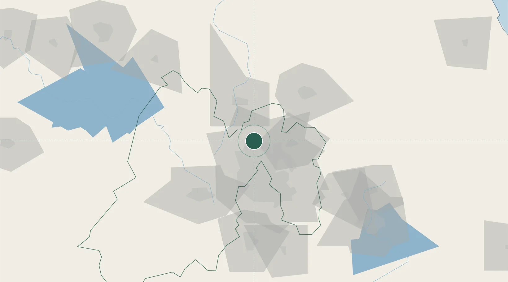
Nearby Logistics Neighbours

Cities
  1. 1Ciudad de México14 km
  2. 2Villa Nicolás Romero17 km
  3. 3Ecatepec20 km
  4. 4Tula de Allende21 km
  5. 5Atizapan de Zaragoza21 km
Nearest neighbours — logibook spatial index (haversine) over the source coordinates
Ports
  1. 1Tuxpan230 km
  2. 2Tampico308 km
  3. 3Veracruz325 km
  4. 4Acapulco330 km
  5. 5Altamira336 km
Nearest neighbours — logibook spatial index (haversine) over the source coordinates
Trade Zones
  1. 1The Special Economic Zone of Lázaro Cárdenas - La Unión373 km
  2. 2Special Economic Zone of Coatzacoalcos524 km
  3. 3Special Economic Zone of Salina Cruz575 km
  4. 4Zona Economica Especial de Tabasco640 km
  5. 5FTZ No. 062 Brownsville715 km
Nearest neighbours — logibook spatial index (haversine) over the source coordinates
DatabookThe Record of Consolidated Knowledge
Mexico beyond logistics?
Browse databook

All Sources

LocationsUN/LOCODE
UN/LOCODE — free
LocationsGeoNames
CC BY 4.0
Portsthe NGA World Port Index
Public domain (US gov)
AirportsOurAirports
Public domain
Trade Zonesthe World Bank SEZ database
CC BY 4.0
Trade ZonesOpen Zone Map
CC BY
← Mexico locations