UN/LOCODE hub · Mexico
MXVNR

Villa Nicolás Romero

19.6333°, -99.3000°
2
Transport functions

Transport Functions

Port
Road
UN/LOCODE

Hub Profile

Region
MEX
GeoNames

Location

Location of MXVNR
Natural Earth 10m (public domain) · MEX · MXVNR · 19.63, -99.30GoogleOSMYandex

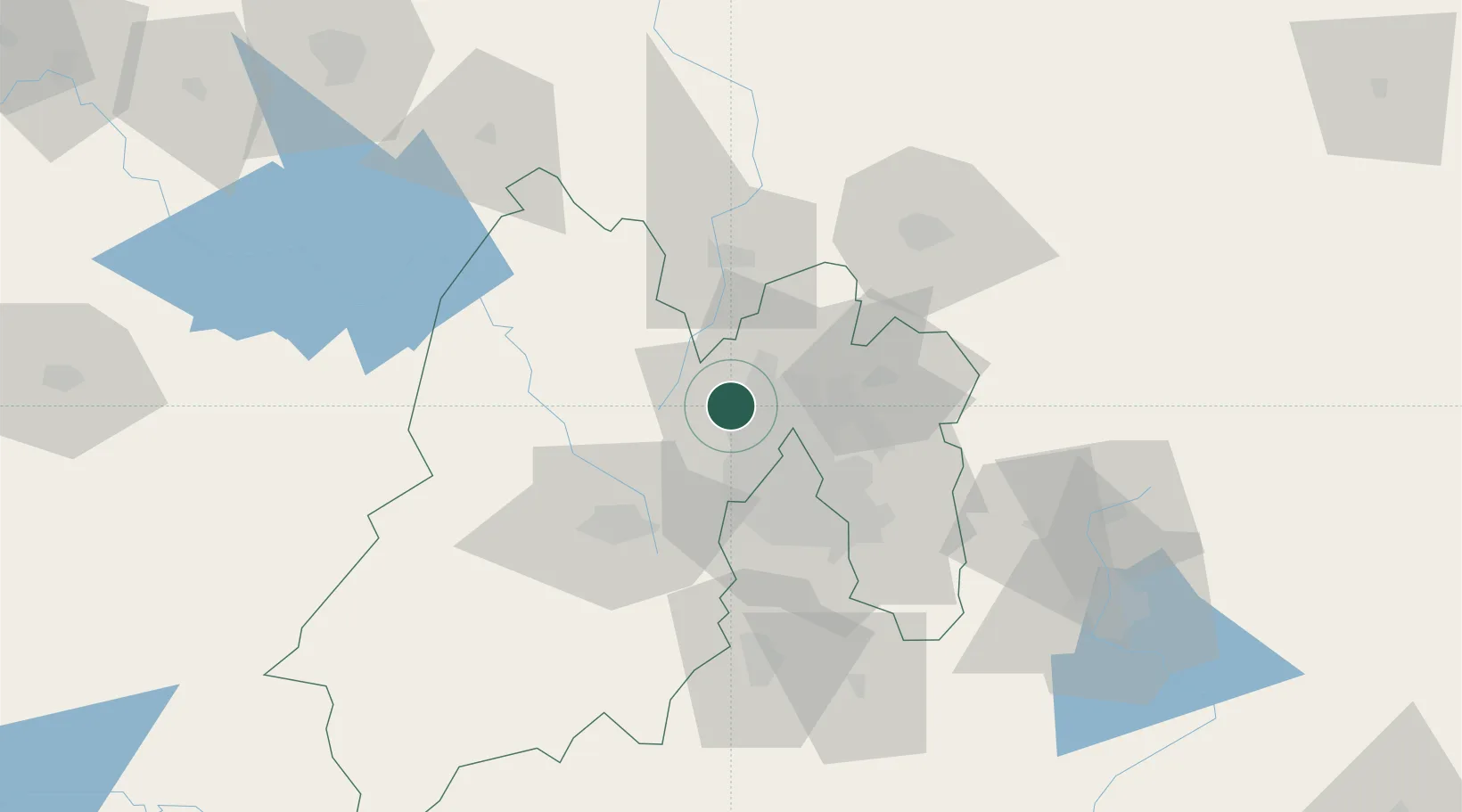
Nearby Logistics Neighbours

Cities
  1. 1Atizapan de Zaragoza12 km
  2. 2Ciudad de México14 km
  3. 3Teoloyucan17 km
  4. 4Tlalnepantla de Baz17 km
  5. 5Azcapotzalco20 km
Nearest neighbours — logibook spatial index (haversine) over the source coordinates
Ports
  1. 1Tuxpan246 km
  2. 2Acapulco317 km
  3. 3Tampico324 km
  4. 4Veracruz336 km
  5. 5Altamira351 km
Nearest neighbours — logibook spatial index (haversine) over the source coordinates
Airports
  1. 1Helipuerto VZ Flights25 km
  2. 2Helipuerto El Universal27 km
  3. 3Felipe Ángeles International Airport32 km
  4. 4Mexico City Benito Juárez International Airport33 km
  5. 5Helipuerto Ciudad de México33 km
Nearest neighbours — logibook spatial index (haversine) over the source coordinates
Trade Zones
  1. 1The Special Economic Zone of Lázaro Cárdenas - La Unión357 km
  2. 2Special Economic Zone of Coatzacoalcos532 km
  3. 3Special Economic Zone of Salina Cruz577 km
  4. 4Zona Economica Especial de Tabasco650 km
  5. 5FTZ No. 062 Brownsville729 km
Nearest neighbours — logibook spatial index (haversine) over the source coordinates
DatabookThe Record of Consolidated Knowledge
Mexico beyond logistics?
Browse databook

All Sources

LocationsUN/LOCODE
UN/LOCODE — free
Portsthe NGA World Port Index
Public domain (US gov)
AirportsOurAirports
Public domain
Trade Zonesthe World Bank SEZ database
CC BY 4.0
Trade ZonesOpen Zone Map
CC BY
← Mexico locations