UN/LOCODE hub · Mexico
MXTUL
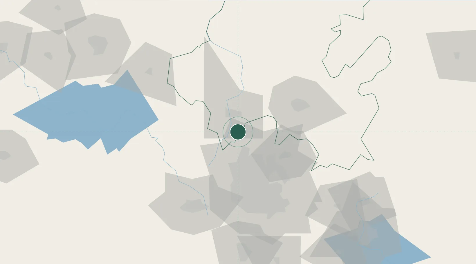
Tula de Allende
19.9065°, -99.2617°
28,577
Population
3
Transport functions
Transport Functions
Rail
Road
Multimodal
Hub Profile
Place type
Populated place
Region
Hidalgo
Population
28,577
Time zone
America/Mexico_City
Elevation
2,066 m
Logistics facilities
1
Location
Nearby Logistics Neighbours
Cities
- 1Tepeji de Ocampo9 km
- 2Apaxco de Ocampo13 km
- 3Teoloyucan21 km
- 4Villa Nicolás Romero31 km
- 5Ciudad de México34 km
Airports
DatabookThe Record of Consolidated Knowledge
Mexico beyond logistics?