Transport Functions
Road
Multimodal
Hub Profile
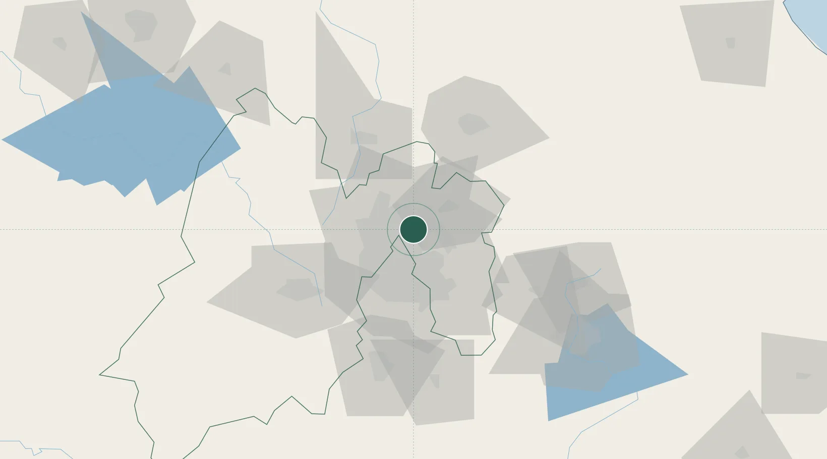
Place type
Populated place
Region
Tlaxcala
Time zone
America/Mexico_City
Elevation
2,238 m
Location
Nearby Logistics Neighbours
Cities
- 1Santa Clara Coatitla8 km
- 2Xalostoc10 km
- 3Ciudad de México12 km
- 4Acolman14 km
- 5Tlalnepantla de Baz16 km
Airports
DatabookThe Record of Consolidated Knowledge
Mexico beyond logistics?