Transport Functions
Port
Hub Profile
Place type
Provincial seat
Region
Yucatán
Population
24,910
Time zone
America/Merida
Elevation
7 m
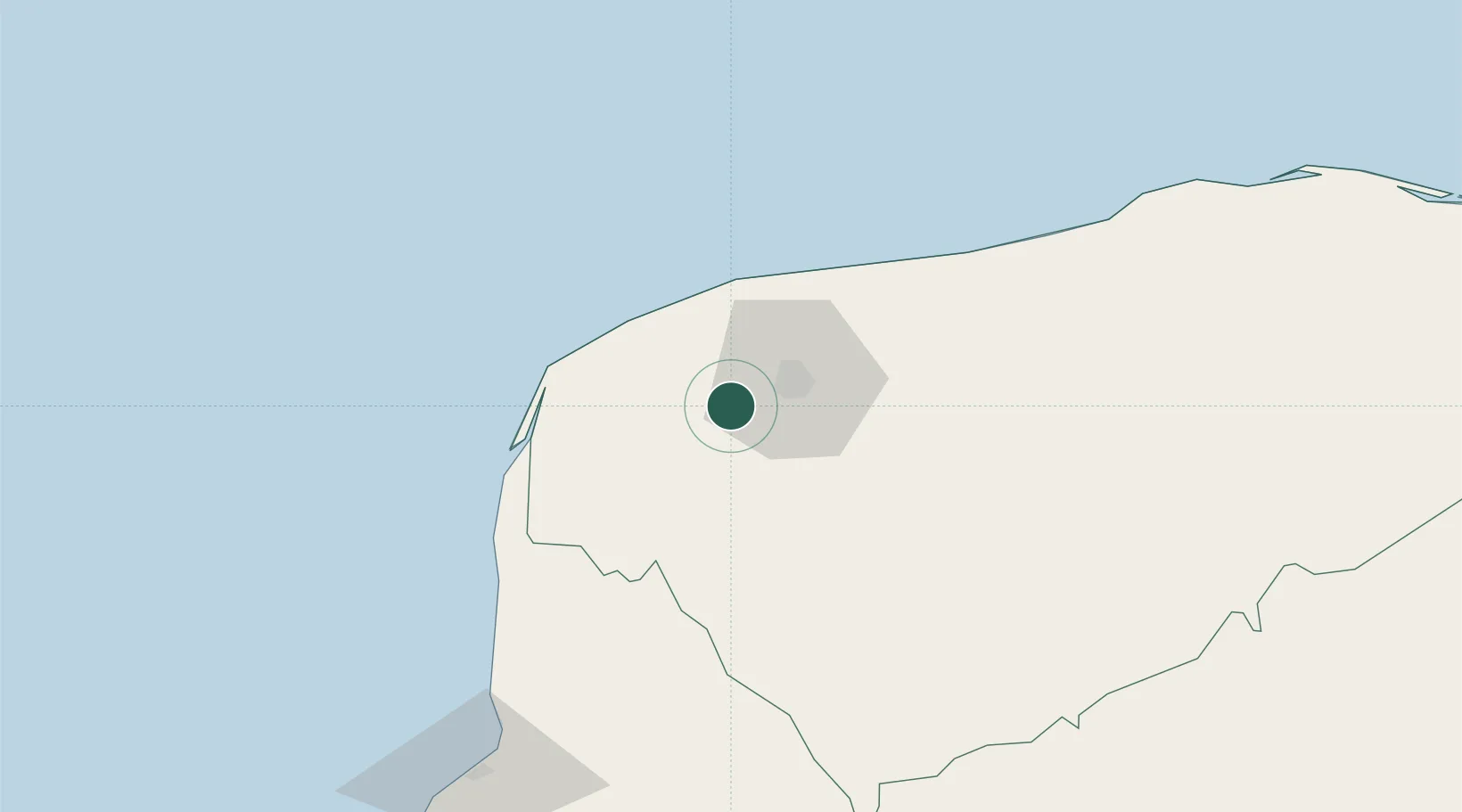
Location
Nearby Logistics Neighbours
Cities
- 1Mérida20 km
- 2Progreso42 km
- 3Tixkokob43 km
- 4Tenabó106 km
- 5Seybaplaya169 km
Ports
- 1Progreso43 km
- 2Campeche142 km
- 3Cayo Arcas Terminal242 km
- 4Punta Venado280 km
- 5San Miguel De Cozumel298 km
Airports
Trade Zones
DatabookThe Record of Consolidated Knowledge
Mexico beyond logistics?