UN/LOCODE hub · Mexico
MXPGO
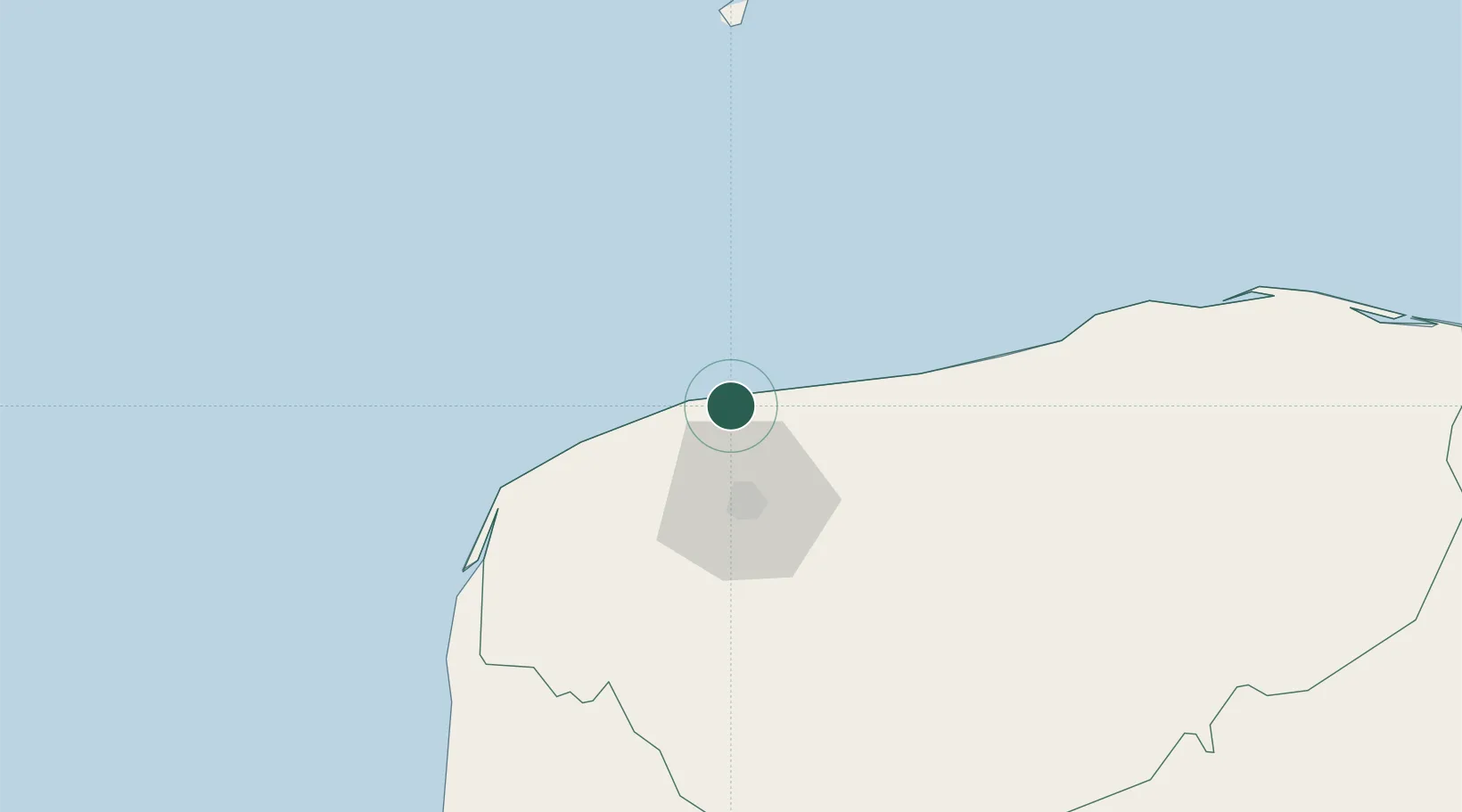
Progreso
21.2691°, -89.6631°
37,369
Population
1
Transport functions
1
Container terminals
Transport Functions
Port
Hub Profile
Place type
Provincial seat
Region
Yucatán
Population
37,369
Time zone
America/Merida
Elevation
1 m
Logistics facilities
5
Container terminals
1
Location
Nearby Logistics Neighbours
Cities
- 1Mérida34 km
- 2Tixkokob41 km
- 3Hunucmá42 km
- 4Tenabó148 km
- 5Seybaplaya210 km
Ports
- 1Campeche183 km
- 2Cayo Arcas Terminal271 km
- 3Punta Venado274 km
- 4San Miguel De Cozumel293 km
- 5Puerto Costa Maya350 km
Airports
Trade Zones
DatabookThe Record of Consolidated Knowledge
Mexico beyond logistics?