Transport Functions
Port
Airport
Hub Profile
Place type
Regional capital
Region
Yucatán
Population
1,201,000
Time zone
America/Merida
Elevation
10 m
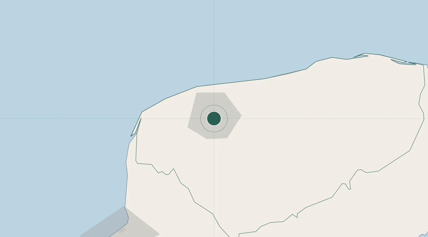
Location
Nearby Logistics Neighbours
Cities
- 1Hunucmá20 km
- 2Tixkokob23 km
- 3Progreso34 km
- 4Tenabó121 km
- 5Seybaplaya185 km
Ports
- 1Progreso36 km
- 2Campeche158 km
- 3Cayo Arcas Terminal262 km
- 4Punta Venado262 km
- 5San Miguel De Cozumel280 km
Airports
Trade Zones
DatabookThe Record of Consolidated Knowledge
Mexico beyond logistics?