Transport Functions
Multimodal
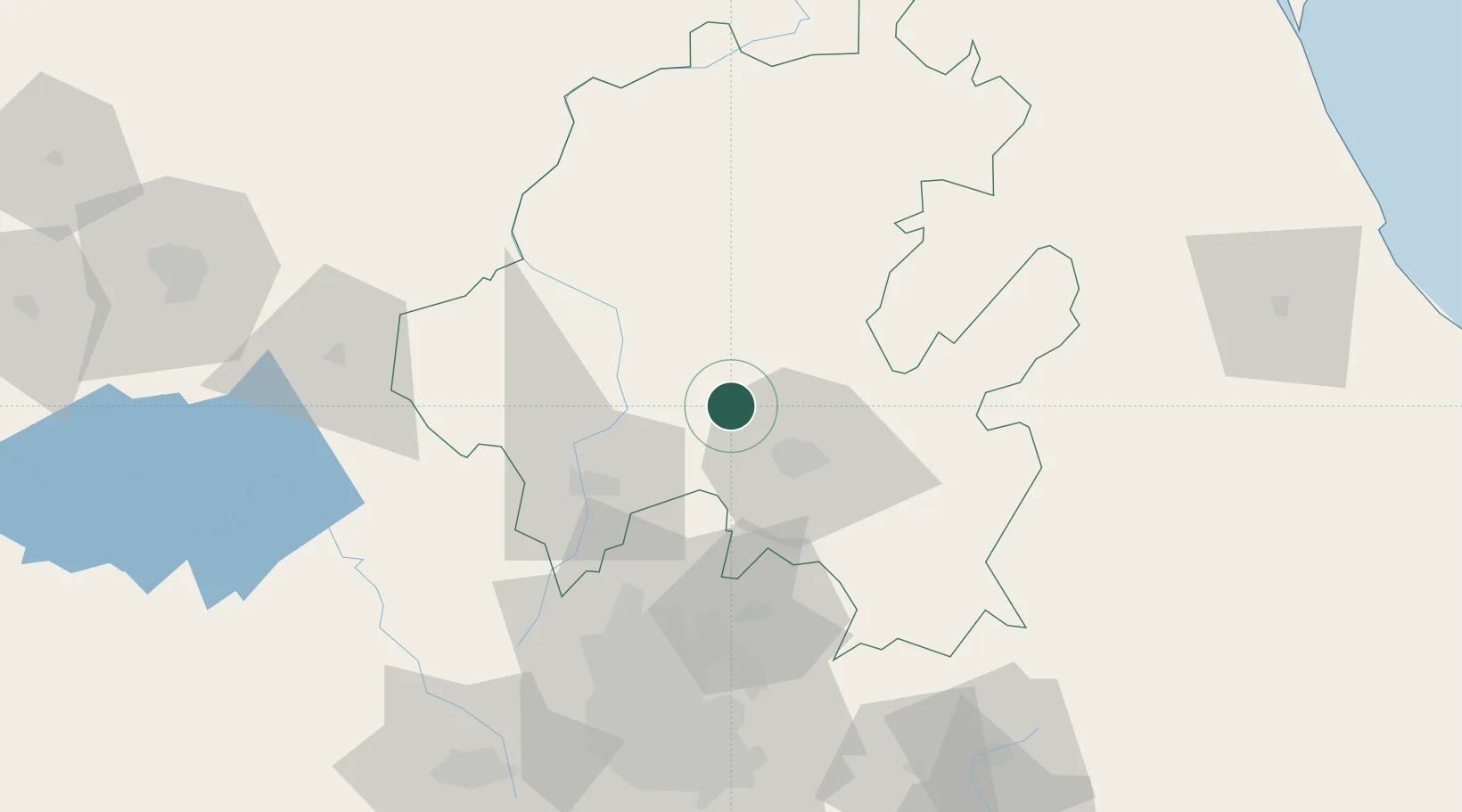
Hub Profile
Place type
Populated place
Region
Hidalgo
Population
32,276
Time zone
America/Mexico_City
Elevation
2,008 m
Location
Nearby Logistics Neighbours
Cities
- 1Apaxco de Ocampo40 km
- 2Tula de Allende53 km
- 3Tecamac59 km
- 4Tepeji de Ocampo60 km
- 5Tulancingo63 km
Airports
DatabookThe Record of Consolidated Knowledge
Mexico beyond logistics?