Transport Functions
Road
Multimodal
Hub Profile
Region
HID
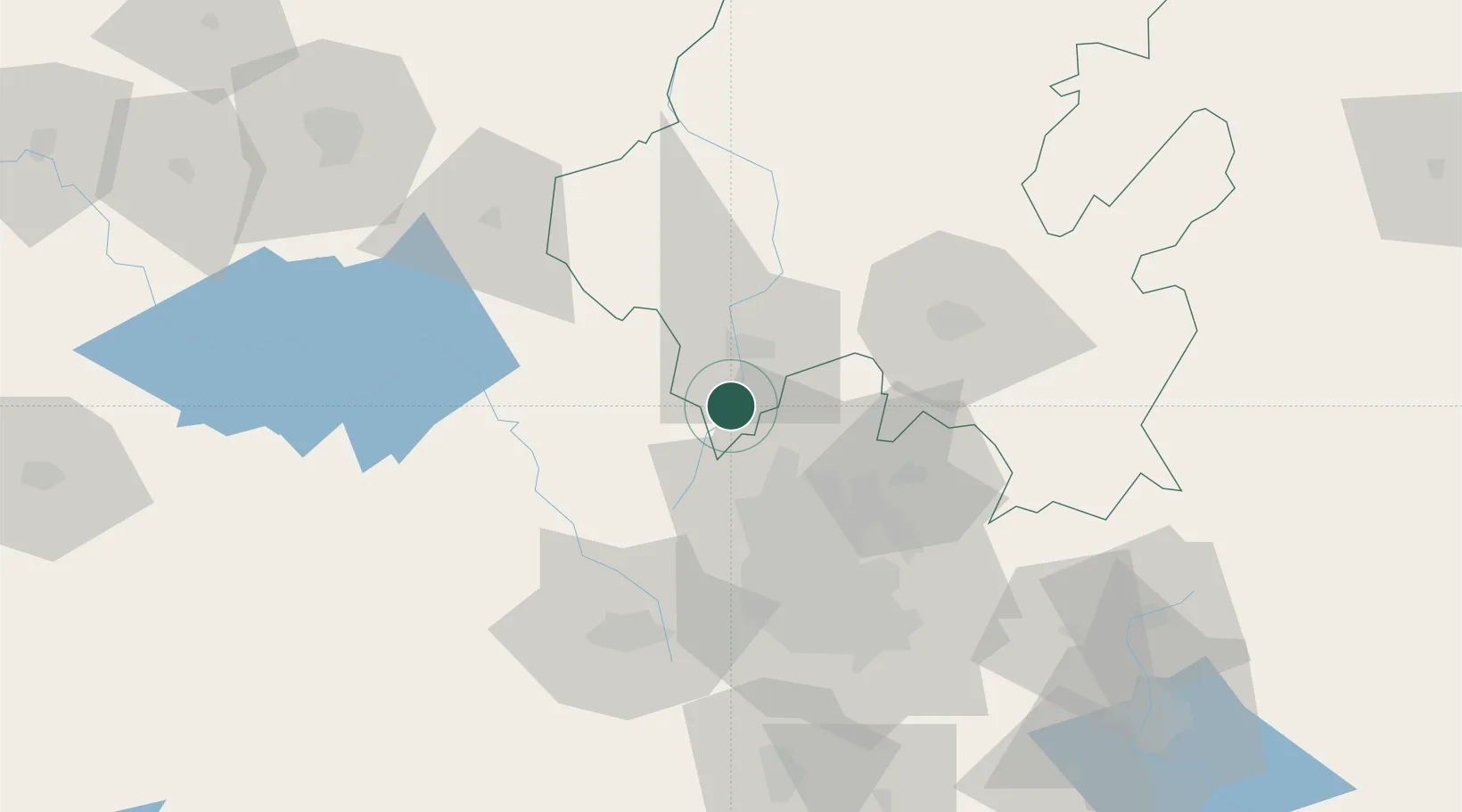
Location
Nearby Logistics Neighbours
Cities
- 1Tula de Allende9 km
- 2Apaxco de Ocampo21 km
- 3Teoloyucan25 km
- 4Villa Nicolás Romero30 km
- 5Ciudad de México37 km
Airports
DatabookThe Record of Consolidated Knowledge
Mexico beyond logistics?