Transport Functions
Rail
Road
Hub Profile
Region
VER
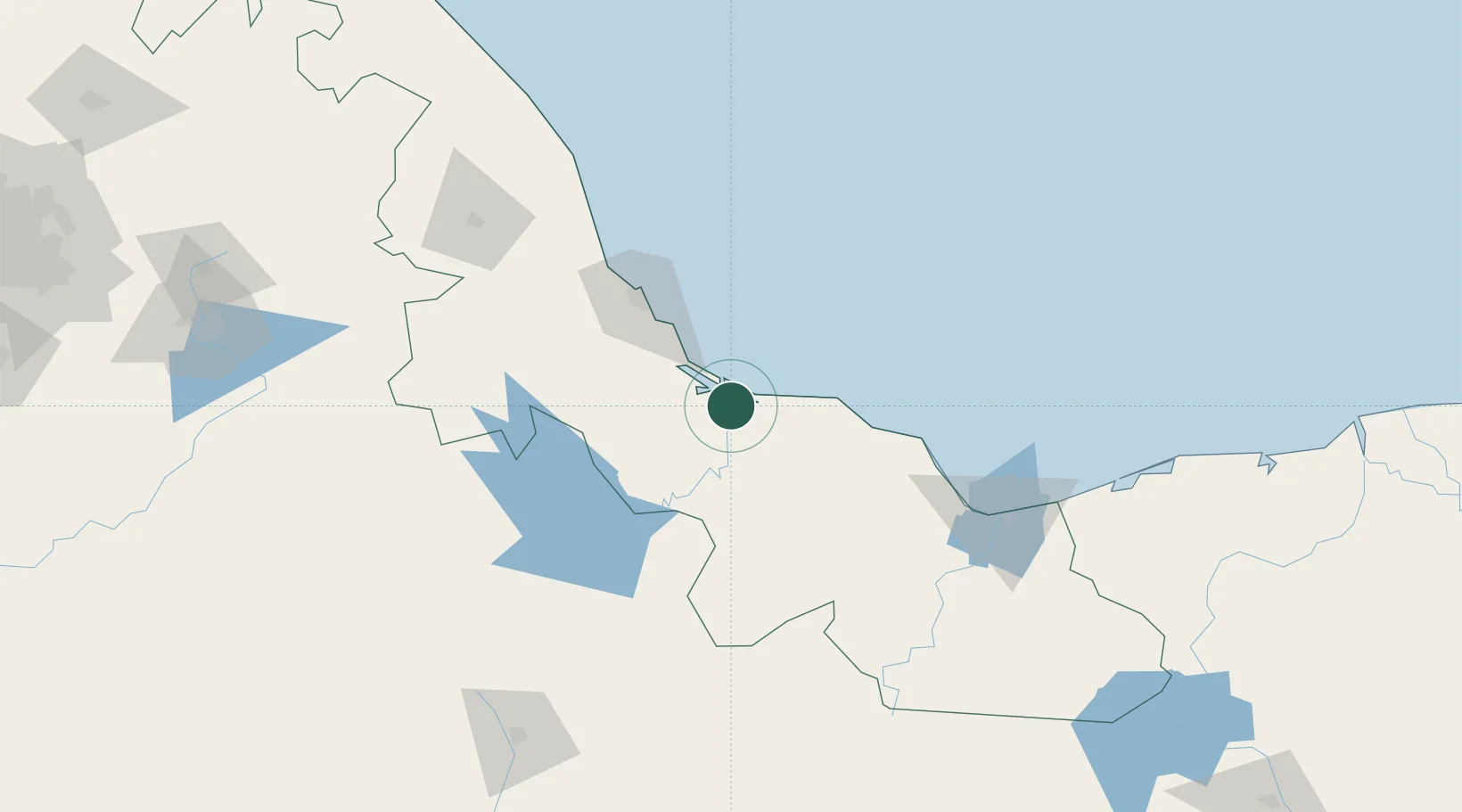
Location
Nearby Logistics Neighbours
Cities
- 1Boca del Río67 km
- 2Cotaxtla74 km
- 3Veracruz79 km
- 4Fortin de las Flores84 km
- 5Cuitláhuac108 km
Ports
- 1Veracruz75 km
- 2Minatitlan146 km
- 3Coatzacoalcos147 km
- 4Nanchital151 km
- 5Dos Bocas Terminal263 km
Airports
Trade Zones
DatabookThe Record of Consolidated Knowledge
Mexico beyond logistics?