UN/LOCODE hub · Mexico
MXIIG

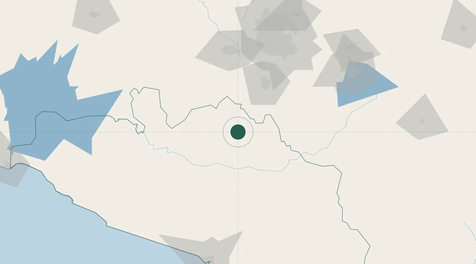
Iguala de la Independencia

18.3500°, -99.5333°
118,468
Population
1
Transport functions

Transport Functions

Multimodal
UN/LOCODE

Hub Profile

Place type
Provincial seat
GeoNames
Region
Guerrero
GeoNames
Population
118,468
GeoNames
Time zone
America/Mexico_City
GeoNames
Elevation
743 m
GeoNames

Location

Location of MXIIG
Natural Earth 10m (public domain) · Guerrero · MXIIG · 18.35, -99.53GoogleOSMYandex

Nearby Logistics Neighbours

Cities
  1. 1Jojutla46 km
  2. 2Miacatlan50 km
  3. 3Xochitepec58 km
  4. 4Zumpahuacán61 km
  5. 5Xochimancas66 km
Nearest neighbours — logibook spatial index (haversine) over the source coordinates
Ports
  1. 1Acapulco172 km
  2. 2Lazaro Cardenas282 km
  3. 3Tuxpan365 km
  4. 4Veracruz370 km
  5. 5Tampico464 km
Nearest neighbours — logibook spatial index (haversine) over the source coordinates
Airports
  1. 1General Mariano Matamoros International Airport61 km
  2. 2Adolfo López Mateos International Airport110 km
  3. 3Helipuerto VZ Flights125 km
  4. 4Helipuerto El Universal127 km
  5. 5Helipuerto Ciudad de México130 km
Nearest neighbours — logibook spatial index (haversine) over the source coordinates
DatabookThe Record of Consolidated Knowledge
Mexico beyond logistics?
Browse databook

All Sources

LocationsUN/LOCODE
UN/LOCODE — free
LocationsGeoNames
CC BY 4.0
Portsthe NGA World Port Index
Public domain (US gov)
AirportsOurAirports
Public domain
Trade Zonesthe World Bank SEZ database
CC BY 4.0
Trade ZonesOpen Zone Map
CC BY
← Mexico locations