Transport Functions
Port
Road
Hub Profile
Place type
Populated place
Region
N
Time zone
Africa/Maputo
Elevation
3 m
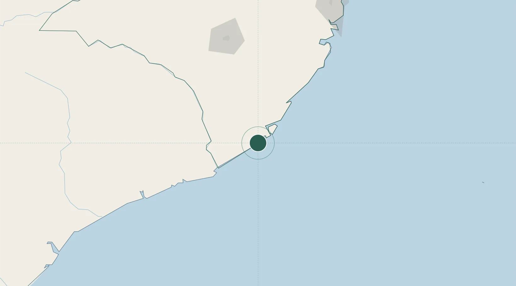
Location
Nearby Logistics Neighbours
Ports
- 1Pebane182 km
- 2Mocambique201 km
- 3Nacala246 km
- 4Porto Belo296 km
- 5Quelimane333 km
Airports
- 1Nampula Airport165 km
- 2Nacala International Airport253 km
- 3Quelimane Airport333 km
- 4Pemba Airport404 km
- 5Tambohorano Airport468 km
Trade Zones
DatabookThe Record of Consolidated Knowledge
Mozambique beyond logistics?